
1941 Map of Cumberland Springs
USGS Topo · Published 1943About this map
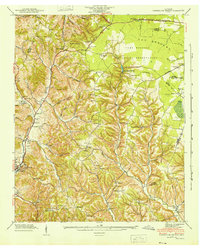
Lynchburg serves as the focal point of this 1941 Tennessee Valley Authority survey, situated at the junction of Mulberry Creek and the surrounding hollows. The landscape transitions from the dense, dissected hills of the Highland Rim into the flatter terrain of The Barrens to the northeast, where the Camp Forrest Military Reservation occupies a significant portion of the sheet. This military presence, established just before the United States entered World War II, sits adjacent to the localized hub of Cumberland Springs.
Find a feature on this map
51 named features on this map. Tap any name to fly to it.
Don’t see what you’re looking for? This feature index may not catch every label — zoom into the map to look around manually.
Map Details
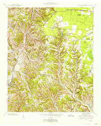
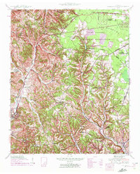
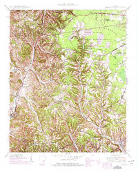
Editions of this 1941 Cumberland Springs Map
5 editions found
Other maps of this area

1928 · Decherd
USGS Topo · 1:62,500

1936 · Ovoca
USGS Topo · 1:24,000

1936 · Booneville
USGS Topo · 1:24,000

1936 · Shelbyville
USGS Topo · 1:24,000

1936 · Cumberland Springs
USGS Topo · 1:24,000

1936 · Belvidere
USGS Topo · 1:24,000

1936 · Mulberry
USGS Topo · 1:24,000

1936 · Camp Peay
USGS Topo · 1:24,000

1936 · Normandy
USGS Topo · 1:24,000

1936 · Lois
USGS Topo · 1:24,000