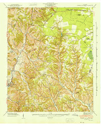
1941 Map of Cumberland Springs
USGS Topo · Published 1943About this map
Lynchburg sits in the southwestern corner of this Tennessee landscape, where the rising hills meet the valley floor. During the early 1940s, the terrain transitions sharply from the complex network of hollows like Bobo Hollow and Duckworth Hollow in the west toward the flatter expanse known as The Barrens in the northeast. This period marks a significant military presence in the region, evidenced by the vast Camp Forrest Military Reservation occupying the upper right quadrant of the sheet.
Find a feature on this map
52 named features on this map. Tap any name to fly to it.
Don’t see what you’re looking for? This feature index may not catch every label — zoom into the map to look around manually.
Map Details
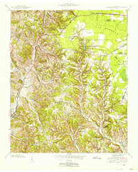
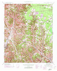
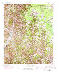
Editions of this 1941 Cumberland Springs Map
5 editions found

Other maps of this area

1928 · Decherd
USGS Topo · 1:62,500

1936 · Ovoca
USGS Topo · 1:24,000

1936 · Booneville
USGS Topo · 1:24,000

1936 · Shelbyville
USGS Topo · 1:24,000

1936 · Cumberland Springs
USGS Topo · 1:24,000

1936 · Belvidere
USGS Topo · 1:24,000

1936 · Mulberry
USGS Topo · 1:24,000

1936 · Camp Peay
USGS Topo · 1:24,000

1936 · Normandy
USGS Topo · 1:24,000

1936 · Lois
USGS Topo · 1:24,000