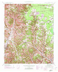
1941 Map of Cumberland Springs
USGS Topo · Published 1972About this map
Lynchburg and its surrounding hill country are documented here as they appeared during the early 1940s, just as the regional landscape began to feel the influence of the Tennessee Valley Authority. The map captures a transition between the established agricultural life along Mulberry Creek and the encroaching Camp Forrest Military Reservation to the northeast. Small, self-contained communities like Raysville and Ridgeville serve as focal points for local residents, often centered around institutions such as Hurricane Ch & Cem and Hickory Hill Sch.
Find a feature on this map
53 named features on this map. Tap any name to fly to it.
Don’t see what you’re looking for? This feature index may not catch every label — zoom into the map to look around manually.
Map Details
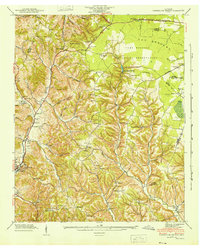
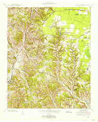
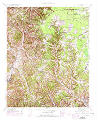
Editions of this 1941 Cumberland Springs Map
5 editions found

Other maps of this area

1928 · Decherd
USGS Topo · 1:62,500

1936 · Ovoca
USGS Topo · 1:24,000

1936 · Booneville
USGS Topo · 1:24,000

1936 · Shelbyville
USGS Topo · 1:24,000

1936 · Cumberland Springs
USGS Topo · 1:24,000

1936 · Belvidere
USGS Topo · 1:24,000

1936 · Mulberry
USGS Topo · 1:24,000

1936 · Camp Peay
USGS Topo · 1:24,000

1936 · Normandy
USGS Topo · 1:24,000

1936 · Lois
USGS Topo · 1:24,000