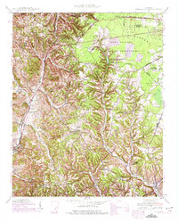
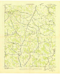
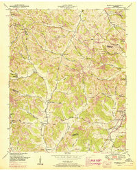
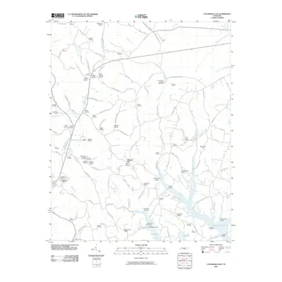
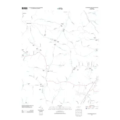
1941 Map of Cumberland Springs
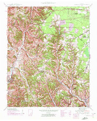
USGS Topo · Published 1975About this map
Camp Forrest Military Reservation dominates the northeastern landscape of Moore County, established as a major training site during the mobilization for World War II. The map details a rural network of small communities and social centers, including Lynchburg and Ridgeville, which are connected by winding roads through the ridges and hollows. The presence of numerous combined institutions like the Turkey Creek Sch & Ch and family landmarks such as Williams Cem provide a look into the social fabric of the era.
Find a feature on this map
41 named features on this map. Tap any name to fly to it.
Don’t see what you’re looking for? This feature index may not catch every label — zoom into the map to look around manually.
Map Details
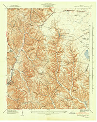
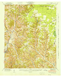
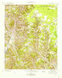
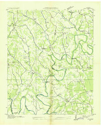
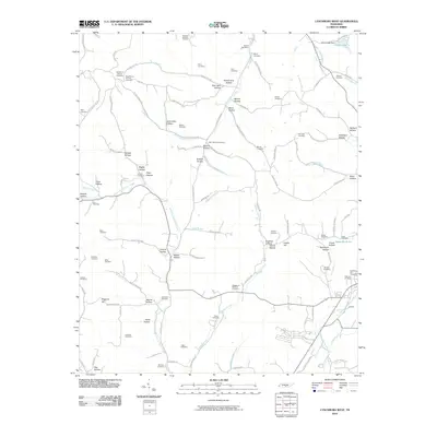
Editions of this 1941 Cumberland Springs Map
5 editions found
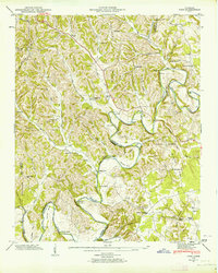
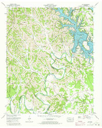
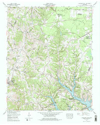
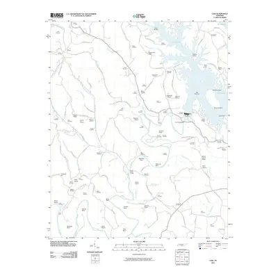
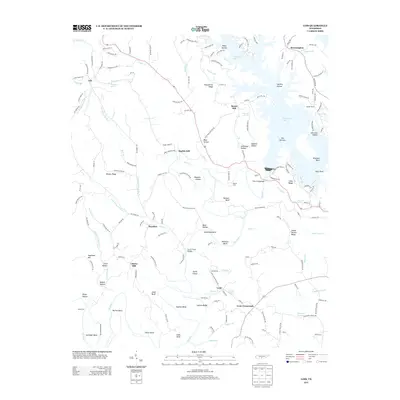
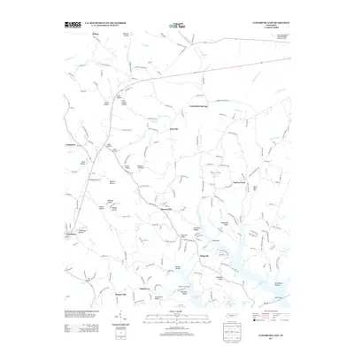
Historical Maps of Tullahoma Through Time
24 maps found
1936 Booneville
Moore County, TN

1936 Cumberland Springs
Moore County, TN
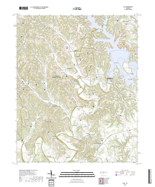
1936 Lois
Moore County, TN
1941 Cumberland Springs
Moore County, TN
1947 Lois
Moore County, TN

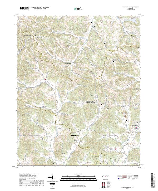
1949 Lynchburg West
Moore County, TN
1951 Booneville
Moore County, TN
1972 Lois
Moore County, TN
1978 Lynchburg East
Moore County, TN
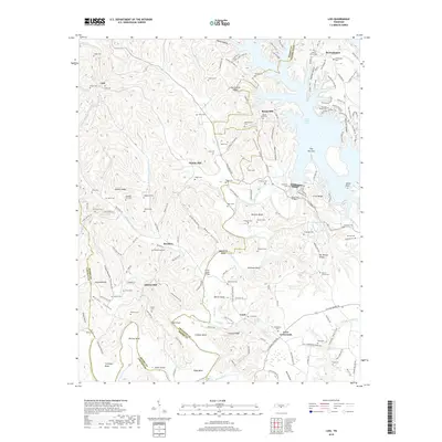
2010 Lois
Moore County, TN
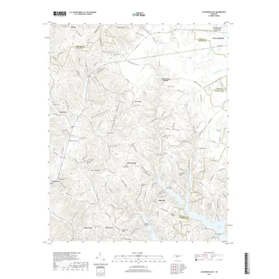
2010 Lynchburg East
Moore County, TN
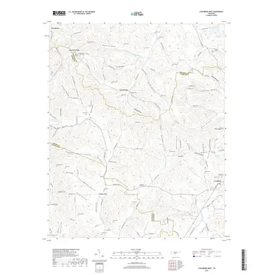
2010 Lynchburg West
Moore County, TN
2013 Lois
Moore County, TN
2013 Lynchburg East
Moore County, TN
2013 Lynchburg West
Moore County, TN
2016 Lois
Moore County, TN
2016 Lynchburg East
Moore County, TN
2016 Lynchburg West
Moore County, TN
2019 Lois
Moore County, TN
2019 Lynchburg East
Moore County, TN
2019 Lynchburg West
Moore County, TN
2022 Lois
Moore County, TN

2022 Lynchburg East
Moore County, TN
2022 Lynchburg West
Moore County, TN