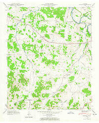
1947 Map of Bedford
USGS Topo · Published 1965About this map
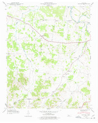
The Duck River winds through the northeast corner of this landscape, its path marked by notable crossing points like the Temple Ford and Sims Bridge. Recorded during a mid-century field examination, the area is defined by a dense network of small rural communities and family-centered landmarks. Near the Bedford settlement, New Bethel Ch stands as a spiritual hub, while several one-room schoolhouses like Thompson Grove Sch and Red Oak Sch reflect the educational footprint of the era. The land is heavily partitioned by historic thoroughfares including Richmond Pike and Snell Road, linking agricultural holdings. For genealogists, the map is particularly rich with small burial grounds such as Pisgah Cem, Knight Cem, and Coleman Cem, which provide essential clues for tracing families across the local terrain.
Find a feature on this map
42 named features on this map. Tap any name to fly to it.
Don’t see what you’re looking for? This feature index may not catch every label — zoom into the map to look around manually.
Map Details
Editions of this 1947 Bedford Map
6 editions found
Other maps of this area

1936 · Booneville
USGS Topo · 1:24,000

1936 · Farmington
USGS Topo · 1:24,000

1936 · Shelbyville
USGS Topo · 1:24,000

1936 · Belfast
USGS Topo · 1:24,000

1936 · Deason
USGS Topo · 1:24,000

1936 · Belleville
USGS Topo · 1:24,000

1936 · Petersburg
USGS Topo · 1:24,000

1936 · Unionville
USGS Topo · 1:24,000

1936 · Bedford
USGS Topo · 1:24,000

1944 · Shelbyville
USGS Topo · 1:100,000