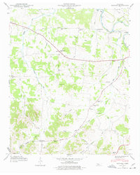
1947 Map of Bedford
USGS Topo · Published 1977About this map
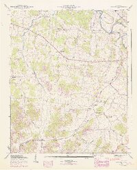
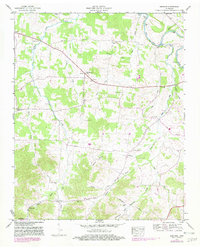
The Duck River winds through the northeast corner of this mid-century landscape, passing the crossing at Temple Ford. This era in the central Tennessee countryside shows a dense network of family-named landmarks and rural institutions that anchored the community. Scattered across the rolling drainage of Sinking Creek and Powell Creek are numerous small church-and-cemetery clusters, such as New Bethel Ch and Richmond Ch, which served the local farming population.
Find a feature on this map
47 named features on this map. Tap any name to fly to it.
Don’t see what you’re looking for? This feature index may not catch every label — zoom into the map to look around manually.
Map Details
Editions of this 1947 Bedford Map
6 editions found
Other maps of this area

1936 · Booneville
USGS Topo · 1:24,000

1936 · Farmington
USGS Topo · 1:24,000

1936 · Shelbyville
USGS Topo · 1:24,000

1936 · Belfast
USGS Topo · 1:24,000

1936 · Deason
USGS Topo · 1:24,000

1936 · Belleville
USGS Topo · 1:24,000

1936 · Petersburg
USGS Topo · 1:24,000

1936 · Unionville
USGS Topo · 1:24,000

1936 · Bedford
USGS Topo · 1:24,000

1944 · Shelbyville
USGS Topo · 1:100,000