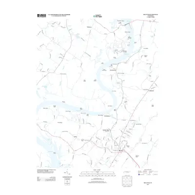
2013 Map of Decatur
USGS Topo · Published 2013About this map
Decatur serves as the central hub of this landscape where the Tennessee River valley meets the rising terrain of the River Knobs and Decatur Ridge. The 2013 topography reveals a complex shoreline dominated by Watts Bar Lake and Dallas Lake, reflecting the legacy of mid-century hydroelectric and navigation projects. Local history is etched into the landscape through features like the Pinhook Ferry crossing and established landings such as Powers Landing and the Watts Bar Resort.
Find a feature on this map
159 named features on this map. Tap any name to fly to it.
Don’t see what you’re looking for? This feature index may not catch every label — zoom into the map to look around manually.
Map Details
Editions of this 2013 Decatur Map
This is the sole edition of this map. No revisions or reprints were ever made.
Other maps of this area

1886 · Cleveland
USGS Topo · 1:125,000

1887 · Kingston
USGS Topo · 1:125,000

1891 · Kingston
USGS Topo · 1:125,000

1892 · Cleveland
USGS Topo · 1:125,000

1893 · Kingston
USGS Topo · 1:125,000

1895 · Cleveland
USGS Topo · 1:125,000

1901 · Cleveland
USGS Topo · 1:125,000

1935 · Goodfield
USGS Topo · 1:24,000

1935 · Evensville
USGS Topo · 1:24,000

1935 · Decatur
USGS Topo · 1:24,000