2022 Map of Decatur
USGS Topo · Published 2022About this map
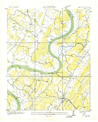
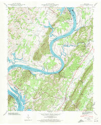
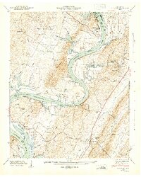
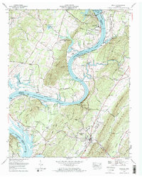
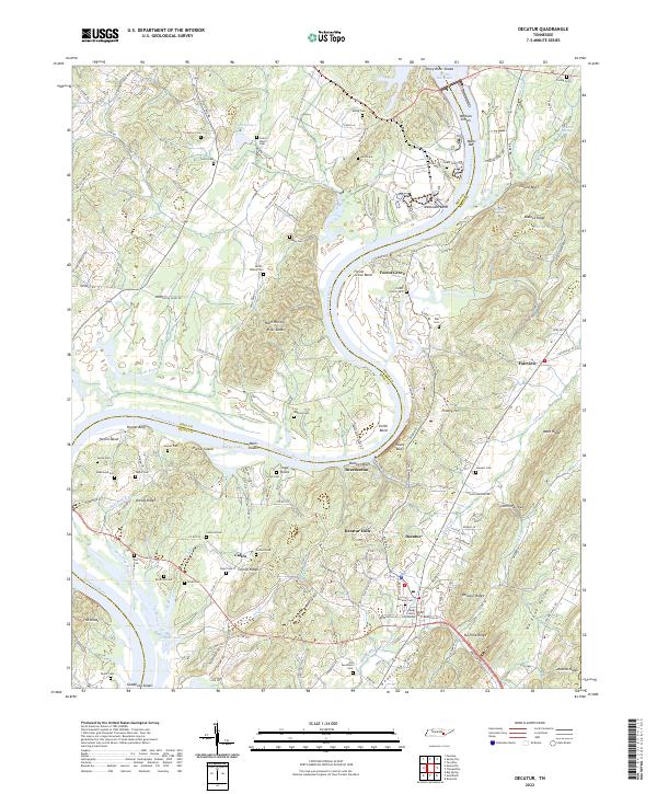
The Meigs County Courthouse anchors the seat of Decatur, where the landscape transitions from the river valley to the prominent ridges of East Tennessee. This survey captures the intricate relationship between the winding Tennessee River and the local geography, featuring notable bends like McDonald Bend and Hunter Bend. Small settlements such as Breedenton, Forest Grove, and Calico are dispersed throughout the region, connected by historic routes like Old Stage Rd and Breedenton Ferry Rd. The map is particularly valuable for genealogical research, documenting numerous family-named burial sites including Poe Cem, Correll Cem, and Dearmond Cem. The terrain is defined by distinct elevations such as No Pone Ridge and Ditney Ridge, while the river's character is marked by Wells Shoals and the expansive Watts Bar Lake to the north.
Find a feature on this map
191 named features on this map. Tap any name to fly to it.
Don’t see what you’re looking for? This feature index may not catch every label — zoom into the map to look around manually.
Map Details
Editions of this 2022 Decatur Map
This is the sole edition of this map. No revisions or reprints were ever made.
Historical Maps of Forest Grove Through Time
5 maps found