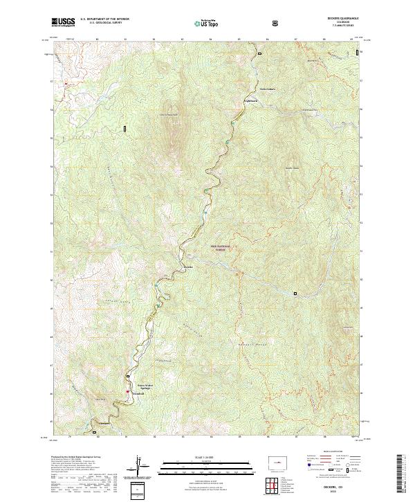
2022 Map of Deckers
USGS Topo · Published 2022About this map
The South Platte River carves a deep path through this section of the Pike National Forest, defining the geography of the boundary between Jefferson and Douglas counties. The small riverside settlements of Deckers, Trumbull, and Oxyoke line the waterway, connected by the S Platte River Rd. This landscape is characterized by its dramatic vertical relief, featuring named landmarks such as Skull Rock, Long Scraggy Peak, and the Rampart Range.
Find a feature on this map
41 named features on this map. Tap any name to fly to it.
Don’t see what you’re looking for? This feature index may not catch every label — zoom into the map to look around manually.
Map Details
Editions of this 2022 Deckers Map
This is the sole edition of this map. No revisions or reprints were ever made.
Other maps of this area

1893 · Platte Canyon
USGS Topo · 1:125,000

1945 · Platte Canyon
USGS Topo · 1:24,000

1945 · Pine
USGS Topo · 1:24,000

1945 · Kassler
USGS Topo · 1:24,000

1948 · Kassler
USGS Topo · 1:24,000

1948 · Pine
USGS Topo · 1:24,000

1948 · Platte Canyon
USGS Topo · 1:24,000

1953 · Denver
USGS Topo · 1:250,000

1954 · Devils Head
USGS Topo · 1:24,000

1954 · Deckers
USGS Topo · 1:24,000