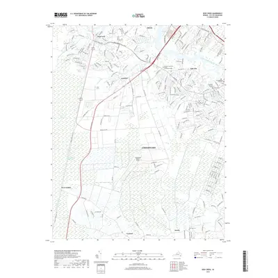
2019 Map of Deep Creek
USGS Topo · Published 2019About this map
The Great Dismal Swamp dominates the western half of this modern study of Chesapeake, where the historic Dismal Swamp Canal and its accompanying Dismal Swamp Canal Trl parallel the Intracoastal Waterway. This area preserves a complex water system including Deep Creek in the north and New Mill Creek through the center, illustrating how the landscape transitions from managed wetlands to the suburban growth of Grassfield and Bells Mill.
Find a feature on this map
34 named features on this map. Tap any name to fly to it.
Don’t see what you’re looking for? This feature index may not catch every label — zoom into the map to look around manually.
Map Details
Editions of this 2019 Deep Creek Map
This is the sole edition of this map. No revisions or reprints were ever made.
Other maps of this area

1907 · Norfolk
USGS Topo · 1:125,000

1918 · Cape Henry
USGS Topo · 1:62,500

1919 · Cape Henry
USGS Topo · 1:62,500

1921 · Newport News
USGS Topo · 1:62,500

1939 · Moyock
USGS Topo · 1:62,500

1940 · Lake Drummond
USGS Topo · 1:62,500

1944 · Norfolk South
USGS Topo · 1:25,000

1945 · Lake Drummond
USGS Topo · 1:62,500

1946 · Moyock
USGS Topo · 1:62,500

1948 · Norfolk South
USGS Topo · 1:24,000