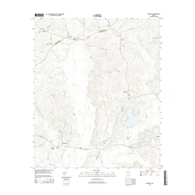
2014 Map of Deepstep
USGS Topo · Published 2014About this map
Deepstep and Linton anchor this central Georgia landscape along the Hancock and Washington County line. The terrain is defined by a dense network of watercourses, most notably Buffalo Creek and Brush Creek, which carve through the clay-rich soils of the region. The presence of Kaolin resources near Keg Creek highlights the area's industrial importance, while numerous family and community burial grounds suggest deep genealogical roots. These sites, including the Trawick Family Cem Number 2, Old Darien Cem, and Stephen Mills Cem, are scattered across the rural countryside. Small settlements like Goat Town and landmarks such as American Ind Clay Company Lake reflect the specialized land use in this part of the state, where agriculture and mineral extraction have shaped the community structure and road network over generations.
Find a feature on this map
71 named features on this map. Tap any name to fly to it.
Don’t see what you’re looking for? This feature index may not catch every label — zoom into the map to look around manually.
Map Details
Editions of this 2014 Deepstep Map
This is the sole edition of this map. No revisions or reprints were ever made.
Other maps of this area

1912 · Milledgeville
USGS Topo · 1:62,500

1916 · Irwinton
USGS Topo · 1:62,500

1920 · Irwinton
USGS Topo · 1:62,500

1953 · Athens
USGS Topo · 1:250,000

1957 · Macon
USGS Topo · 1:250,000

1958 · Macon
USGS Topo · 1:250,000

1958 · Athens
USGS Topo · 1:250,000

1959 · Athens
USGS Topo · 1:250,000

1960 · Warthen NE
USGS Topo · 1:24,000

1961 · Deepstep
USGS Topo · 1:24,000