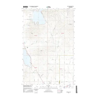
2017 Map of Deer Lake
USGS Topo · Published 2017About this map
Deer Lake and the northeastern corner of Loon Lake define this high-altitude landscape on the border of Stevens and Spokane counties. The area is characterized by a mix of recreational shoreline developments and prominent peaks, including Blue Grouse Mtn, Deer Lake Mtn, and Loon Lake Mtn. In the south, the settlement of Clayton sits near the headwaters of Dragoon Cr, while the rural character of the interior is preserved through family-named landmarks like Taylor Ranch Way. Local history and genealogy interests are served by the presence of Zion Hill Cem and numerous named access points such as Tamarack Bay Rd and Southwood Shores Rd, reflecting the evolution of these lakeside communities into the 21st century.
Find a feature on this map
63 named features on this map. Tap any name to fly to it.
Don’t see what you’re looking for? This feature index may not catch every label — zoom into the map to look around manually.
Map Details
Editions of this 2017 Deer Lake Map
This is the sole edition of this map. No revisions or reprints were ever made.
Other maps of this area

1901 · Spokane
USGS Topo · 1:125,000

1927 · Chewelah
USGS Topo · 1:125,000

1930 · Chewelah
USGS Topo · 1:125,000

1936 · Newport
USGS Topo · 1:96,000

1942 · Newport
USGS Topo · 1:125,000

1944 · Clayton
USGS Topo · 1:62,500

1949 · Deer Park
USGS Topo · 1:62,500

1950 · Clayton
USGS Topo · 1:62,500

1951 · Deer Park
USGS Topo · 1:62,500

1955 · Spokane
USGS Topo · 1:250,000