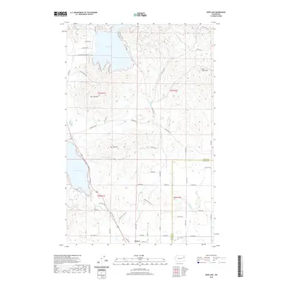
2020 Map of Deer Lake
USGS Topo · Published 2020About this map
Deer Lake and the northern reach of Loon Lake dominate this portion of the Pacific Northwest, where the borders of Stevens and Spokane counties meet. The landscape is defined by significant elevations, including Deer Lake Mtn, Loon Lake Mtn, and Blue Grouse Mtn, which overlook a network of seasonal and perennial waters such as Dragoon Cr and Forks Cr. The settlement of Clayton serves as a primary point of reference in the southern portion of the quadrangle, situated near the Zion Hill Cem. This 2020 survey illustrates a contemporary mix of recreational shoreline development and rugged timberland. A complex grid of local roads, including Garden Spot Rd and Tamarack Bay Rd, provides access to the many bays and inlets that characterize these prominent inland water bodies.
Find a feature on this map
60 named features on this map. Tap any name to fly to it.
Don’t see what you’re looking for? This feature index may not catch every label — zoom into the map to look around manually.
Map Details
Editions of this 2020 Deer Lake Map
This is the sole edition of this map. No revisions or reprints were ever made.
Other maps of this area

1901 · Spokane
USGS Topo · 1:125,000

1927 · Chewelah
USGS Topo · 1:125,000

1930 · Chewelah
USGS Topo · 1:125,000

1936 · Newport
USGS Topo · 1:96,000

1942 · Newport
USGS Topo · 1:125,000

1944 · Clayton
USGS Topo · 1:62,500

1949 · Deer Park
USGS Topo · 1:62,500

1950 · Clayton
USGS Topo · 1:62,500

1951 · Deer Park
USGS Topo · 1:62,500

1955 · Spokane
USGS Topo · 1:250,000