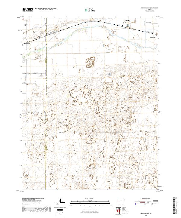
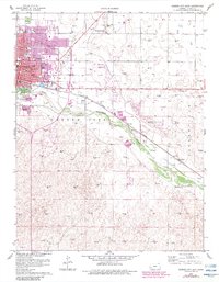
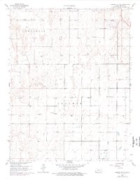
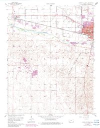
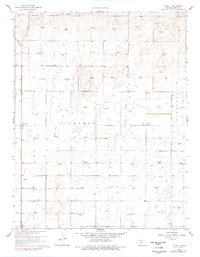
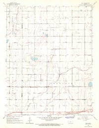
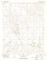
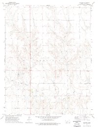
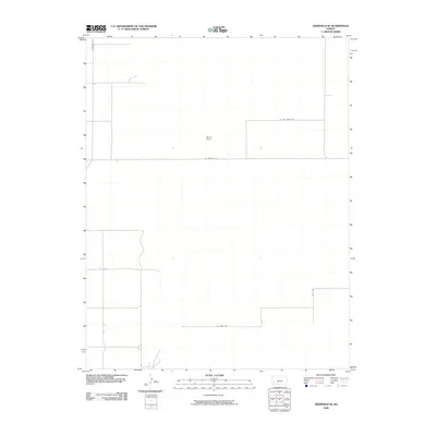
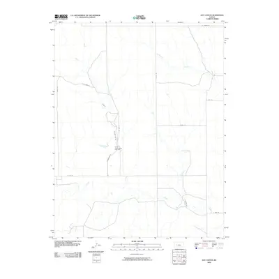
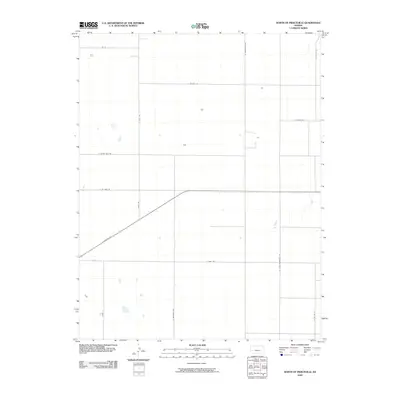
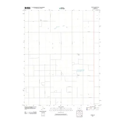
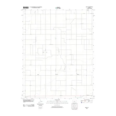
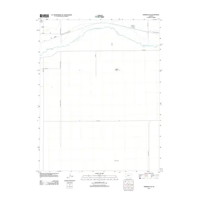
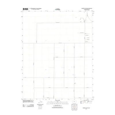
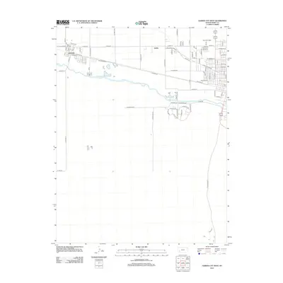
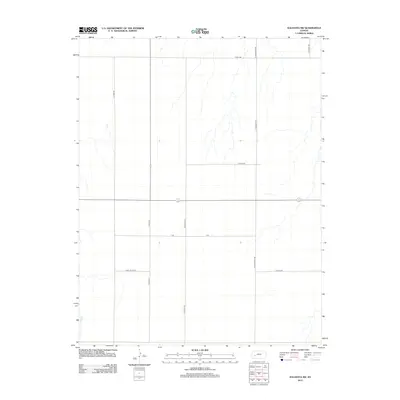
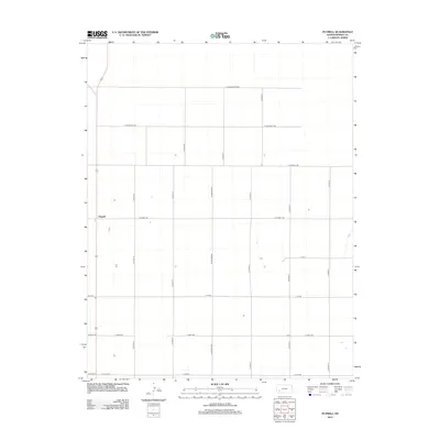
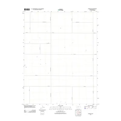
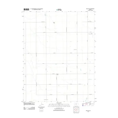
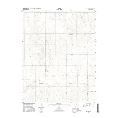
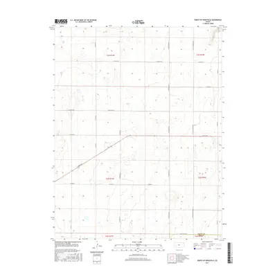
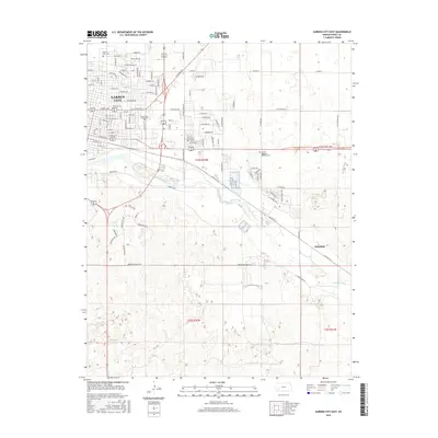
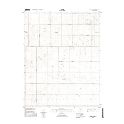
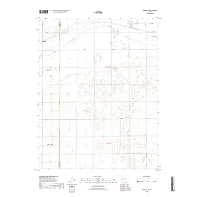
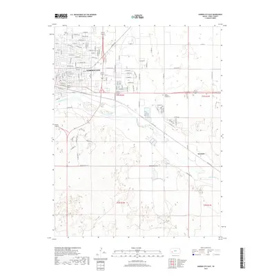
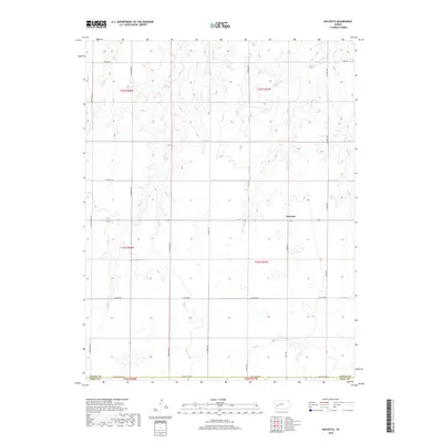
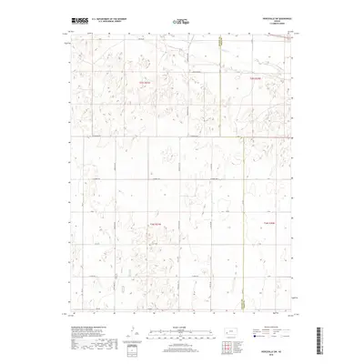
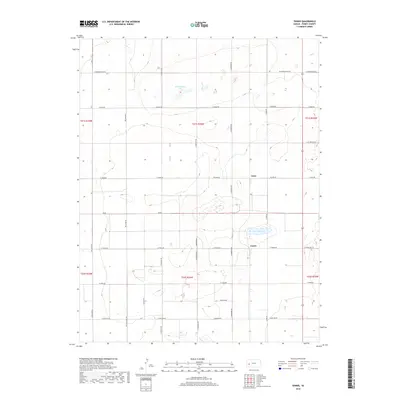
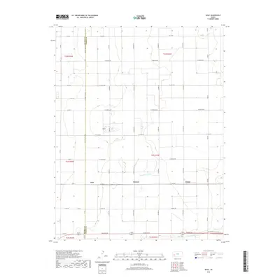
2022 Map of Deerfield NE
USGS Topo · Published 2022About this map
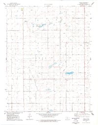
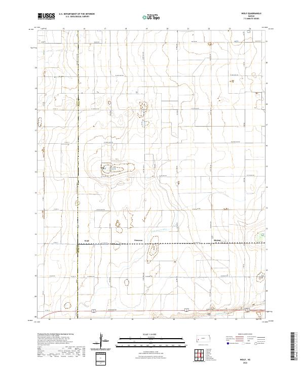
The Arkansas River defines the northern landscape of this region, serving as a primary corridor for early settlement and modern agriculture. Near the river's path, the community of Deerfield and the neighboring town of Holcomb anchor the local population centers, connected by a network of rural routes such as W River Rd and N Big Lowe Rd. The map also delineates the Kearny Co Finney Co boundary, illustrating how administrative lines intersect with the natural flow of the river valley.
Find a feature on this map
26 named features on this map. Tap any name to fly to it.
Don’t see what you’re looking for? This feature index may not catch every label — zoom into the map to look around manually.
Map Details
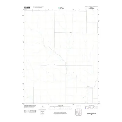
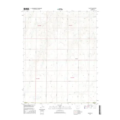
Editions of this 2022 Deerfield NE Map
This is the sole edition of this map. No revisions or reprints were ever made.
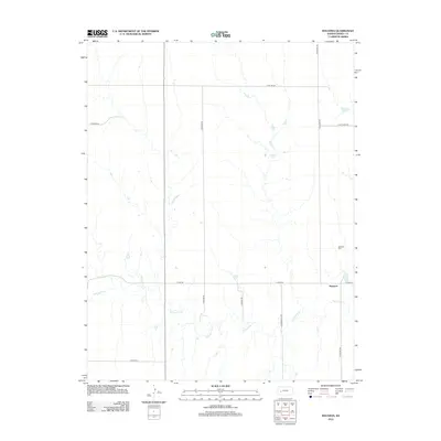
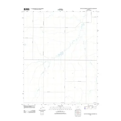
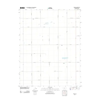
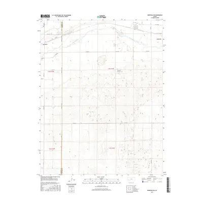
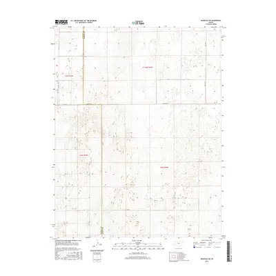
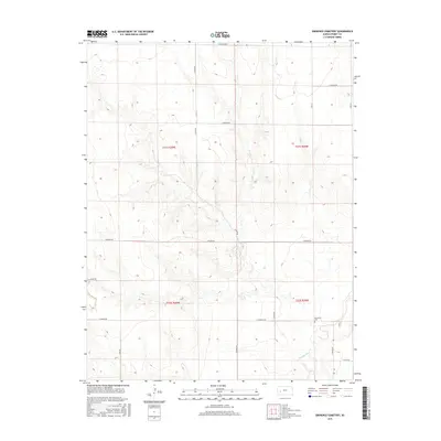
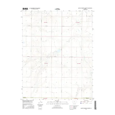
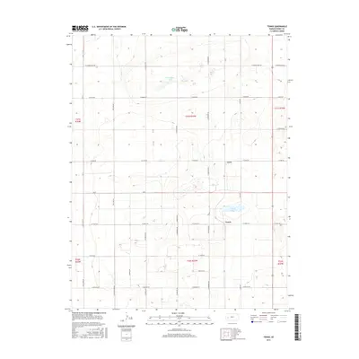
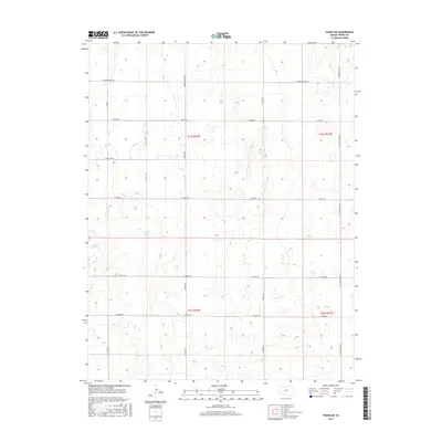
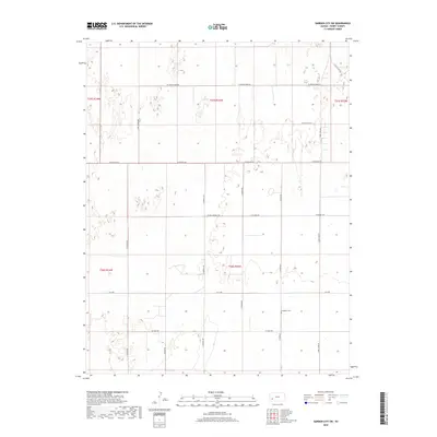
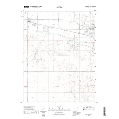
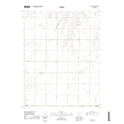
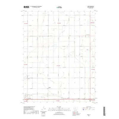
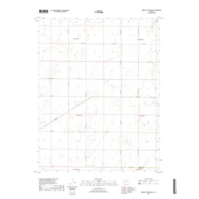
Historical Maps of Holcomb Through Time
127 maps found
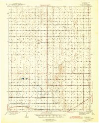
1944 Tennis
Finney County, KS
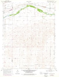
1960 Deerfield NE
Finney County, KS
1960 Deerfield SE
Finney County, KS
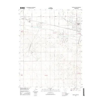
1960 Garden City East
Finney County, KS
1960 Garden City SW
Finney County, KS
1960 Garden City West
Finney County, KS
1960 Plymell
Finney County, KS
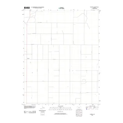
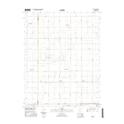
1965 Wolf
Finney County, KS
1965 Wolf NE
Finney County, KS
1967 Pierceville SW
Finney County, KS
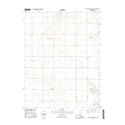
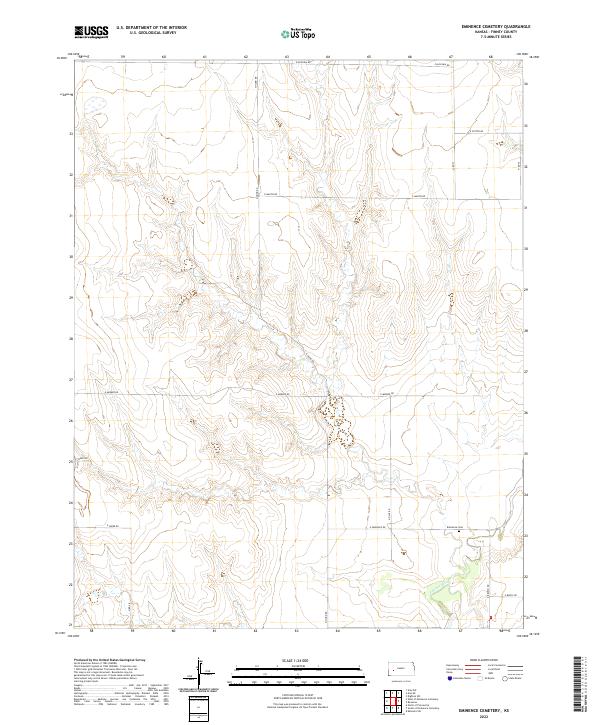
1974 Eminence Cemetery
Finney County, KS
1974 Hay Canyon
Finney County, KS
1974 Kalvesta
Finney County, KS
1974 Kalvesta SW
Finney County, KS
1974 North of Pierceville
Finney County, KS
1974 Ravanna
Finney County, KS
1974 South of Eminence Cemetery
Finney County, KS
1974 West of Eminence Cemetery
Finney County, KS
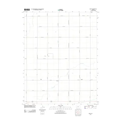
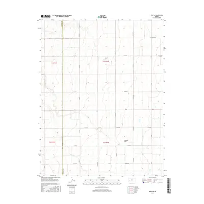
1976 Lowe
Finney County, KS
1976 Tennis
Finney County, KS
1976 Tennis NE
Finney County, KS
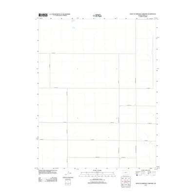
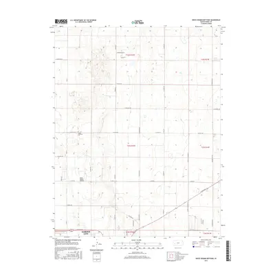
1976 White Woman Bottoms
Finney County, KS
2009 Deerfield NE
Finney County, KS
2009 Deerfield SE
Finney County, KS
2009 Eminence Cemetery
Finney County, KS
2009 Garden City SW
Finney County, KS
2009 Garden City West
Finney County, KS
2009 Hay Canyon
Finney County, KS
2009 Kalvesta
Finney County, KS
2009 Kalvesta SW
Finney County, KS
2009 Lowe
Finney County, KS
2009 North of Pierceville
Finney County, KS
2009 Pierceville SW
Finney County, KS
2009 Ravanna
Finney County, KS
2009 South of Eminence Cemetery
Finney County, KS
2009 Tennis
Finney County, KS
2009 Tennis NE
Finney County, KS
2009 West of Eminence Cemetery
Finney County, KS
2009 White Woman Bottoms
Finney County, KS
2009 Wolf
Finney County, KS
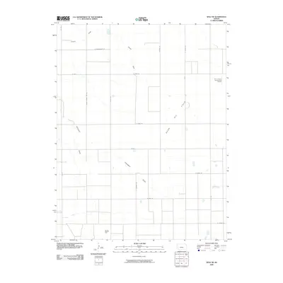
2009 Wolf NE
Finney County, KS
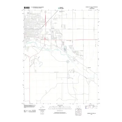
2010 Garden City East
Finney County, KS
2010 Plymell
Finney County, KS
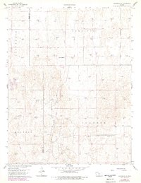
2012 Deerfield NE
Finney County, KS
2012 Deerfield SE
Finney County, KS
2012 Eminence Cemetery
Finney County, KS
2012 Garden City East
Finney County, KS
2012 Garden City SW
Finney County, KS
2012 Garden City West
Finney County, KS
2012 Hay Canyon
Finney County, KS
2012 Kalvesta
Finney County, KS
2012 Kalvesta SW
Finney County, KS
2012 Lowe
Finney County, KS
2012 North of Pierceville
Finney County, KS
2012 Pierceville SW
Finney County, KS
2012 Plymell
Finney County, KS
2012 Ravanna
Finney County, KS
2012 South of Eminence Cemetery
Finney County, KS
2012 Tennis
Finney County, KS
2012 Tennis NE
Finney County, KS
2012 West of Eminence Cemetery
Finney County, KS
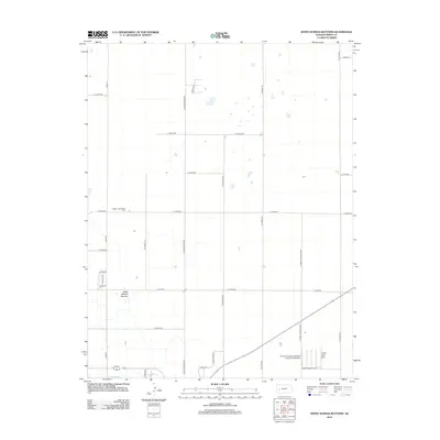
2012 White Woman Bottoms
Finney County, KS
2012 Wolf
Finney County, KS
2012 Wolf NE
Finney County, KS
2015 Deerfield NE
Finney County, KS
2015 Deerfield SE
Finney County, KS
2015 Eminence Cemetery
Finney County, KS
2015 Hay Canyon
Finney County, KS
2015 Kalvesta
Finney County, KS
2015 Kalvesta SW
Finney County, KS
2015 Lowe
Finney County, KS
2015 North of Pierceville
Finney County, KS

2015 Ravanna
Finney County, KS
2015 South of Eminence Cemetery
Finney County, KS
2015 Tennis
Finney County, KS
2015 Tennis NE
Finney County, KS
2015 White Woman Bottoms
Finney County, KS
2015 Wolf
Finney County, KS
2015 Wolf NE
Finney County, KS
2016 Garden City East
Finney County, KS
2016 Garden City SW
Finney County, KS
2016 Garden City West
Finney County, KS
2016 Pierceville SW
Finney County, KS
2016 Plymell
Finney County, KS
2016 West of Eminence Cemetery
Finney County, KS
2018 Deerfield NE
Finney County, KS
2018 Deerfield SE
Finney County, KS
2018 Eminence Cemetery
Finney County, KS
2018 Garden City East
Finney County, KS
2018 Garden City SW
Finney County, KS
2018 Garden City West
Finney County, KS
2018 Hay Canyon
Finney County, KS
2018 Kalvesta
Finney County, KS
2018 Kalvesta SW
Finney County, KS
2018 Lowe
Finney County, KS
2018 North of Pierceville
Finney County, KS
2018 Pierceville SW
Finney County, KS
2018 Plymell
Finney County, KS
2018 Ravanna
Finney County, KS
2018 South of Eminence Cemetery
Finney County, KS
2018 Tennis
Finney County, KS
2018 Tennis NE
Finney County, KS
2018 West of Eminence Cemetery
Finney County, KS
2018 White Woman Bottoms
Finney County, KS
2018 Wolf
Finney County, KS
2018 Wolf NE
Finney County, KS
2022 Deerfield NE
Finney County, KS
2022 Deerfield SE
Finney County, KS
2022 Eminence Cemetery
Finney County, KS
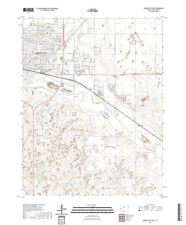
2022 Garden City East
Finney County, KS
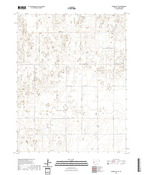
2022 Garden City SW
Finney County, KS
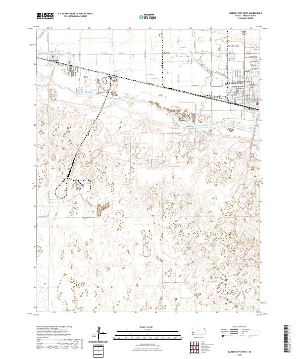
2022 Garden City West
Finney County, KS
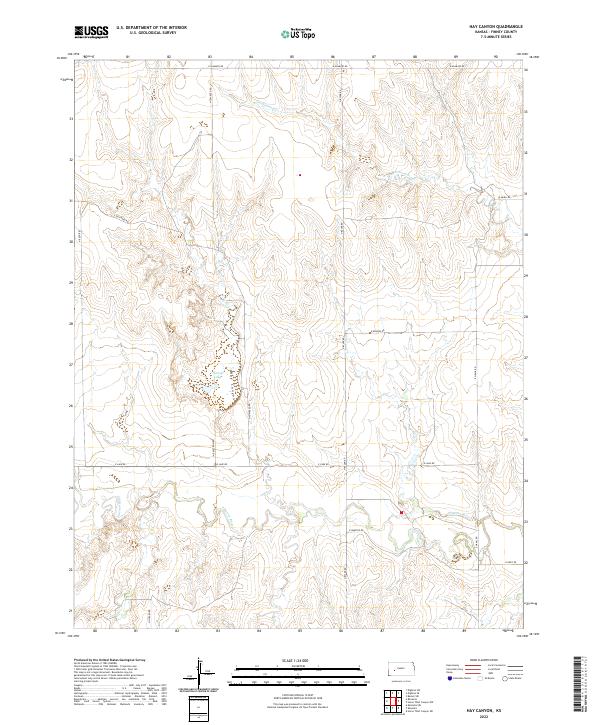
2022 Hay Canyon
Finney County, KS
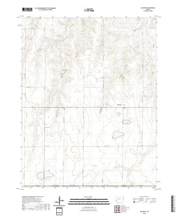
2022 Kalvesta
Finney County, KS
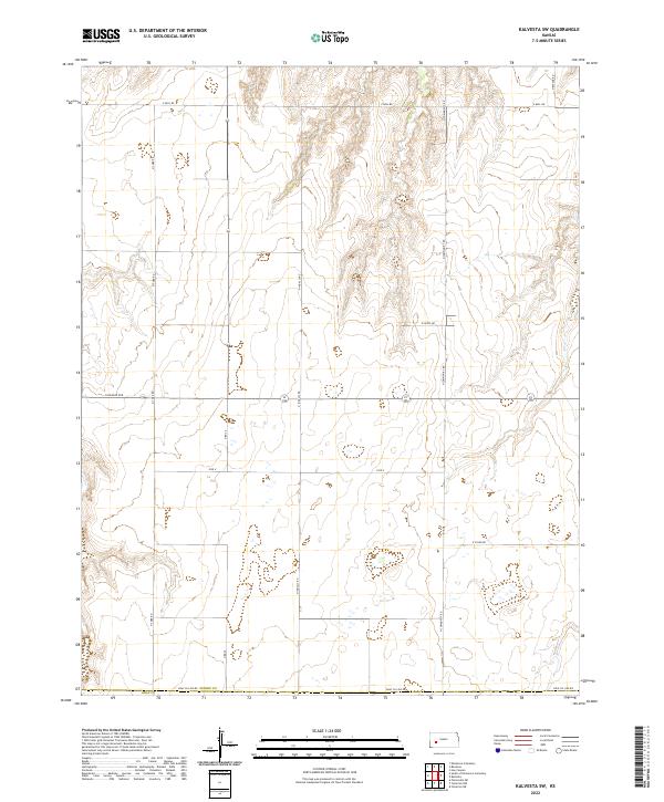
2022 Kalvesta SW
Finney County, KS
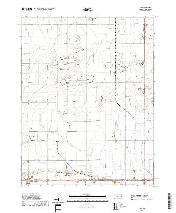
2022 Lowe
Finney County, KS
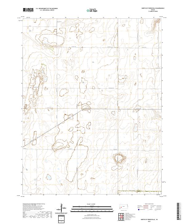
2022 North of Pierceville
Finney County, KS
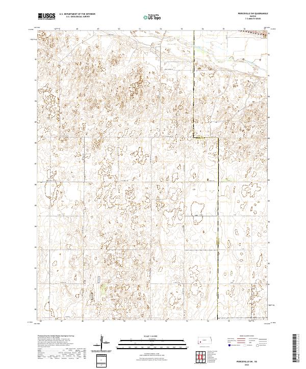
2022 Pierceville SW
Finney County, KS
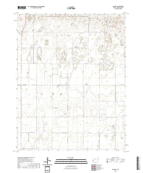
2022 Plymell
Finney County, KS
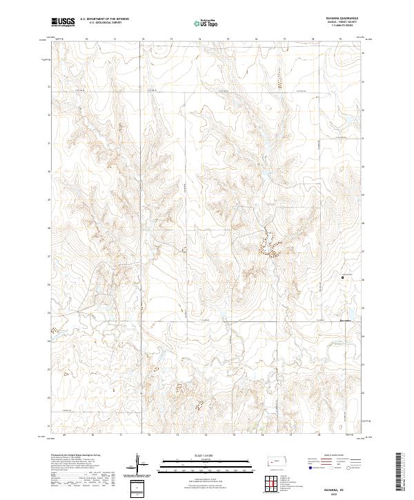
2022 Ravanna
Finney County, KS
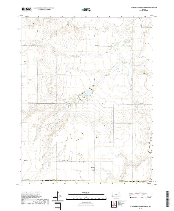
2022 South of Eminence Cemetery
Finney County, KS
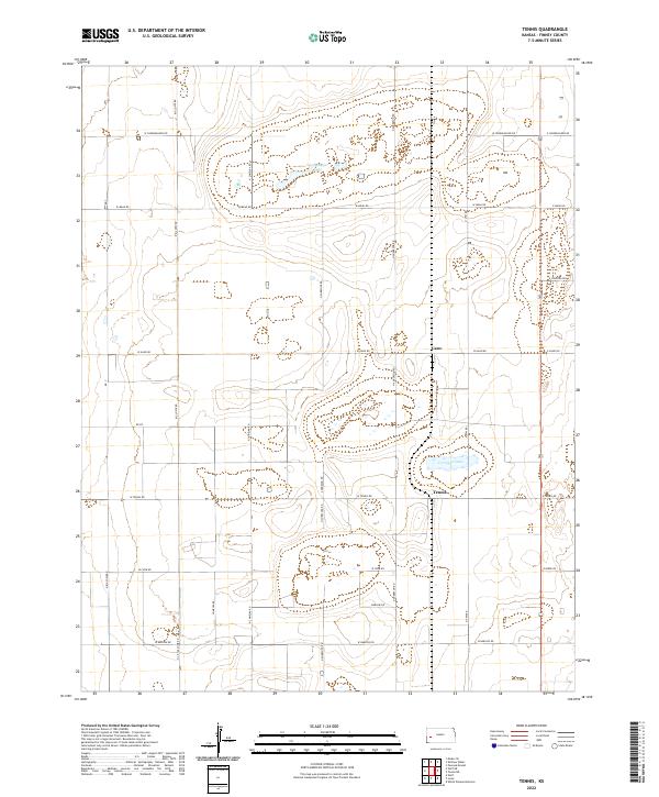
2022 Tennis
Finney County, KS
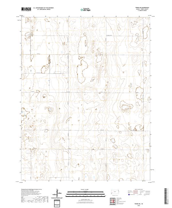
2022 Tennis NE
Finney County, KS
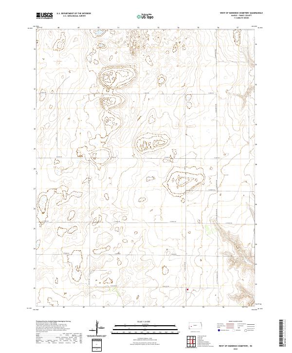
2022 West of Eminence Cemetery
Finney County, KS
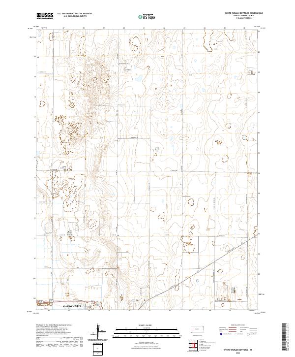
2022 White Woman Bottoms
Finney County, KS
2022 Wolf
Finney County, KS
2022 Wolf NE
Finney County, KS