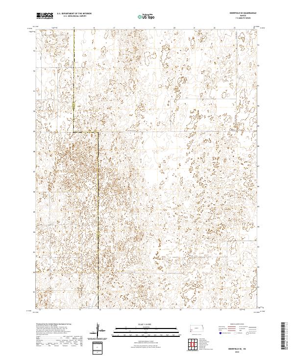
2022 Map of Deerfield SE
USGS Topo · Published 2022About this map
The border between Kearny Co and Finney Co bisects this Kansas landscape, which is characterized by a high-plains surveying grid and ephemeral drainage depressions. The terrain is marked by a complex network of unclassified water features and basins, showing a topography shaped by intermittent surface water rather than permanent streams. Local travel and property access are defined by a regular system of section-line roads, including W Parallel Rd and S Holcomb Ln, which cut across the wide-open prairie. The map illustrates the 2022 state of agricultural land division, revealing how modern township and range lines like t25s r34w still dictate the organization of the western Kansas landscape as it transitions between county jurisdictions.
Find a feature on this map
12 named features on this map. Tap any name to fly to it.
Don’t see what you’re looking for? This feature index may not catch every label — zoom into the map to look around manually.
Map Details
Editions of this 2022 Deerfield SE Map
This is the sole edition of this map. No revisions or reprints were ever made.
Other maps of this area

1891 · Larned
USGS Topo · 1:125,000

1896 · Garden
USGS Topo · 1:125,000

1900 · Lakin
USGS Topo · 1:125,000

1955 · Dodge City
USGS Topo · 1:250,000

1958 · Dodge City
USGS Topo · 1:250,000

1959 · Dodge City
USGS Topo · 1:250,000

1959 · Hickok NW
USGS Topo · 1:24,000

1959 · Garden City 3 NW
USGS Topo · 1:24,000

1959 · Hickok NE
USGS Topo · 1:24,000

1960 · Garden City SW
USGS Topo · 1:24,000