Loading...
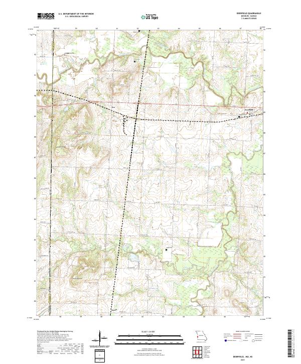
Loading map...2021 Map of Deerfield
USGS Topo · Published 2021About this map
Deerfield and the surrounding agricultural lands of Vernon Co Missouri are defined by a network of waterways and early prairie settlements. The Marmaton River meanders through the northern portion of the quadrangle, flanked by seasonal wetlands and tributaries like Shiloh Cr and Cottonwood Cr. The landscape is a mix of floodplains and low rises, including notable high points such as Vergil Mound and Vetters Hill.
Find a feature on this map
48 named features on this map. Tap any name to fly to it.
Don’t see what you’re looking for? This feature index may not catch every label — zoom into the map to look around manually.
Map Details
Date Portrayed2021
Date Published2021
PublisherU.S. Geological Survey
Map TypeTopographic
Scale1:24000
Physical Dimensions24 x 29 inches
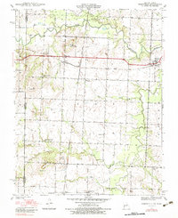
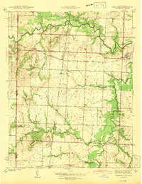
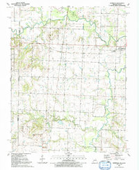
Editions of this 2021 Deerfield Map
This is the sole edition of this map. No revisions or reprints were ever made.
Historical Maps of Eve Through Time
4 maps found
Featured Locations
Source Details
SourceU.S. Geological Survey
CopyrightPublic Domain