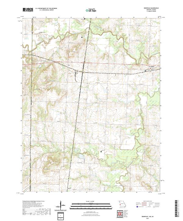
2021 Map of Deerfield
USGS Topo · Published 2021About this map
Deerfield and the surrounding agricultural lands of Vernon Co Missouri are defined by a network of waterways and early prairie settlements. The Marmaton River meanders through the northern portion of the quadrangle, flanked by seasonal wetlands and tributaries like Shiloh Cr and Cottonwood Cr. The landscape is a mix of floodplains and low rises, including notable high points such as Vergil Mound and Vetters Hill.
Find a feature on this map
48 named features on this map. Tap any name to fly to it.
Don’t see what you’re looking for? This feature index may not catch every label — zoom into the map to look around manually.
Map Details
Editions of this 2021 Deerfield Map
This is the sole edition of this map. No revisions or reprints were ever made.
Other maps of this area

1884 · Fort Scott
USGS Topo · 1:125,000

1886 · Nevada
USGS Topo · 1:125,000

1886 · Fort Scott
USGS Topo · 1:125,000

1893 · Fort Scott
USGS Topo · 1:125,000

1894 · Nevada
USGS Topo · 1:125,000

1938 · Metz
USGS Topo · 1:24,000

1939 · Metz
USGS Topo · 1:24,000

1939 · Deerfield
USGS Topo · 1:24,000

1939 · Moundville
USGS Topo · 1:24,000

1942 · Richards
USGS Topo · 1:24,000