
1939 Map of Moundville
USGS Topo · Published 1962About this map
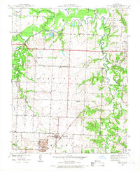
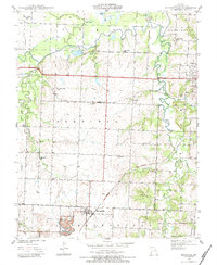
Moundville serves as the primary hub in this late 1930s landscape, situated at a junction of rural roads and the Missouri Pacific railroad line. The surrounding countryside in Vernon County is defined by a dense network of district schoolhouses, including Oak Grove Sch, Nash Sch, and Sylvan Dale Sch, which suggest the population distribution of these farming townships prior to mid-century school consolidations. Along the northern edge, the Little Marmaton River and its associated wetlands like Bens Slough and Stultz Lake create a distinct floodplain environment. To the east, the St Francis Convent stands near the Missouri Kansas Texas tracks, while smaller settlements like Ellis and Ingram mark the path of the regional rail and road infrastructure. This survey provides a clear view of the area's transition from river-bottom wetlands to upland prairies, anchored by local institutions like the Wilburn Cem.
Find a feature on this map
32 named features on this map. Tap any name to fly to it.
Don’t see what you’re looking for? This feature index may not catch every label — zoom into the map to look around manually.
Map Details
Editions of this 1939 Moundville Map
3 editions found
Other maps of this area

1884 · Fort Scott
USGS Topo · 1:125,000

1886 · Nevada
USGS Topo · 1:125,000

1886 · Fort Scott
USGS Topo · 1:125,000

1893 · Fort Scott
USGS Topo · 1:125,000

1894 · Nevada
USGS Topo · 1:125,000

1933 · Camp Clark
USGS Topo · 1:24,000

1938 · Metz
USGS Topo · 1:24,000

1938 · Horton
USGS Topo · 1:24,000

1939 · Metz
USGS Topo · 1:24,000

1939 · Horton
USGS Topo · 1:24,000