
1942 Map of Richards
USGS Topo · Published 1942About this map
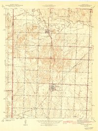
The Little Osage River winds across the northern landscape of this Missouri-Kansas borderland, defining a terrain where river bottomlands meet the rising elevations of the Timbered Hills. This 1939 survey captures a well-developed agricultural and transportation grid dominated by two major rail lines. The Kansas City Southern and Missouri Pacific railroads intersect near the prominent settlement of Richards, a vital hub for the surrounding Henry and Richland townships. Small rural communities like Stotesbury and Hickman are anchored by a network of local institutions, including the Enoch Sch and McGinnis Sch. The distribution of family and community burial grounds, such as Coffman Cem and Richland Cem, reflects the deep-rooted genealogical history of Vernon County during the pre-war era.
Find a feature on this map
23 named features on this map. Tap any name to fly to it.
Don’t see what you’re looking for? This feature index may not catch every label — zoom into the map to look around manually.
Map Details
Editions of this 1942 Richards Map
3 editions found
Other maps of this area

1884 · Fort Scott
USGS Topo · 1:125,000

1886 · Nevada
USGS Topo · 1:125,000

1886 · Fort Scott
USGS Topo · 1:125,000

1887 · Butler
USGS Topo · 1:125,000

1887 · Mound City
USGS Topo · 1:125,000

1893 · Fort Scott
USGS Topo · 1:125,000

1893 · Mound City
USGS Topo · 1:125,000

1894 · Butler
USGS Topo · 1:125,000

1894 · Nevada
USGS Topo · 1:125,000

1938 · Metz
USGS Topo · 1:24,000