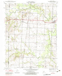
1939 Map of Deerfield
USGS Topo · Published 1983About this map
Bushville and Eve anchor the central corridor of this Vernon County landscape, which was surveyed just as the pre-war agricultural and rail patterns were firmly established. The intersection of the Kansas City Southern and Missouri Kansas Texas railroads creates a vital transportation hub near the state line, facilitating the movement of goods along the Marmaton River valley.
Find a feature on this map
28 named features on this map. Tap any name to fly to it.
Don’t see what you’re looking for? This feature index may not catch every label — zoom into the map to look around manually.
Map Details
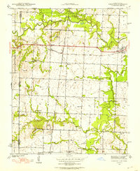
Editions of this 1939 Deerfield Map
3 editions found
Other maps of this area

1884 · Fort Scott
USGS Topo · 1:125,000

1886 · Nevada
USGS Topo · 1:125,000

1886 · Fort Scott
USGS Topo · 1:125,000

1893 · Fort Scott
USGS Topo · 1:125,000

1894 · Nevada
USGS Topo · 1:125,000

1938 · Metz
USGS Topo · 1:24,000

1939 · Metz
USGS Topo · 1:24,000

1939 · Deerfield
USGS Topo · 1:24,000

1939 · Moundville
USGS Topo · 1:24,000

1942 · Richards
USGS Topo · 1:24,000