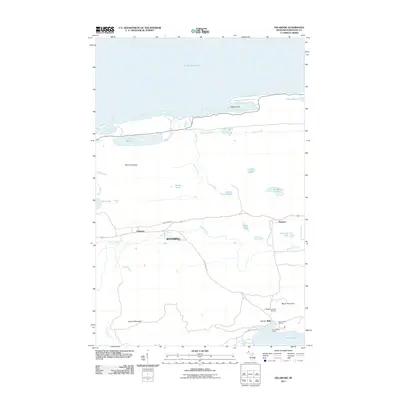
2011 Map of Delaware
USGS Topo · Published 2011About this map
The northern reaches of the Keweenaw Peninsula are characterized here by a rugged shoreline along Lake Superior, where Agate Harbor and Grand Marais Harbor cut into the rocky coast. The settlement of Delaware serves as a central point in this landscape, situated near the headwaters of the Montreal River. This 2011 survey captures the area's transition from historical mining roots to a modern focus on recreation, evidenced by the presence of the Mount Bohemia Ski Area and the Lac La Belle Resort to the south.
Find a feature on this map
40 named features on this map. Tap any name to fly to it.
Don’t see what you’re looking for? This feature index may not catch every label — zoom into the map to look around manually.
Map Details
Editions of this 2011 Delaware Map
This is the sole edition of this map. No revisions or reprints were ever made.
Other maps of this area

1927 · Point Isabelle
USGS Topo · 1:31,680

1938 · Bruneau Creek
USGS Topo · 1:31,680

1938 · Delaware
USGS Topo · 1:31,680

1939 · Deer Lake
USGS Topo · 1:31,680

1939 · Delaware
USGS Topo · 1:31,680

1940 · Deer Lake
USGS Topo · 1:31,680

1940 · Central
USGS Topo · 1:31,680

1940 · Lake Medora
USGS Topo · 1:31,680

1946 · Bruneau Creek
USGS Topo · 1:24,000

1946 · Eagle Harbor
USGS Topo · 1:24,000