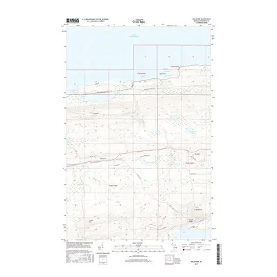
2017 Map of Delaware
USGS Topo · Published 2017About this map
Delaware and Mandan sit as focal points in this interior stretch of the Keweenaw Peninsula, where the legacy of copper country is etched into the landscape. The terrain is defined by dramatic elevation shifts, rising from the cold shores of Lake Superior at Agate Harbor and North Bay to the high points of Mt Lookout and Gratiot Mtn. The Keweenaw State Trail follows an east-west corridor through the center of the sheet, tracing a path near the Montreal River that once connected these remote mining-era settlements.
Find a feature on this map
49 named features on this map. Tap any name to fly to it.
Don’t see what you’re looking for? This feature index may not catch every label — zoom into the map to look around manually.
Map Details
Editions of this 2017 Delaware Map
This is the sole edition of this map. No revisions or reprints were ever made.
Other maps of this area

1927 · Point Isabelle
USGS Topo · 1:31,680

1938 · Bruneau Creek
USGS Topo · 1:31,680

1938 · Delaware
USGS Topo · 1:31,680

1939 · Deer Lake
USGS Topo · 1:31,680

1939 · Delaware
USGS Topo · 1:31,680

1940 · Deer Lake
USGS Topo · 1:31,680

1940 · Central
USGS Topo · 1:31,680

1940 · Lake Medora
USGS Topo · 1:31,680

1946 · Bruneau Creek
USGS Topo · 1:24,000

1946 · Eagle Harbor
USGS Topo · 1:24,000