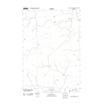
2012 Map of Delectable Mountain
USGS Topo · Published 2012About this map
Delectable Mountain rises at the heart of this landscape, anchoring a series of ridges and peaks that define the high country of central Vermont. This 2012 survey reveals a classic New England pattern of small, scattered hamlets and family-named homesteads connected by a winding network of town highways. Settlements like Morgan Corners and Chateauguay serve as local landmarks in an area dominated by timbered slopes and countless drainages, including Stony Brook, Dalton Brook, and Locust Cr.
Find a feature on this map
77 named features on this map. Tap any name to fly to it.
Don’t see what you’re looking for? This feature index may not catch every label — zoom into the map to look around manually.
Map Details
Editions of this 2012 Delectable Mountain Map
This is the sole edition of this map. No revisions or reprints were ever made.
Other maps of this area

1891 · Rutland
USGS Topo · 1:62,500

1893 · Rutland
USGS Topo · 1:62,500

1911 · Woodstock
USGS Topo · 1:62,500

1913 · Woodstock
USGS Topo · 1:62,500

1915 · Rochester
USGS Topo · 1:62,500

1917 · Rochester
USGS Topo · 1:62,500

1919 · Royalton
USGS Topo · 1:62,500

1924 · Randolph
USGS Topo · 1:48,000

1926 · Randolph
USGS Topo · 1:62,500

1943 · Woodstock
USGS Topo · 1:62,500