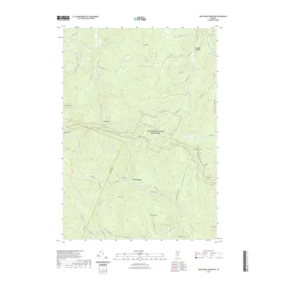
2021 Map of Delectable Mountain
USGS Topo · Published 2021About this map
The Appalachian National Scenic Trail winds through the high peaks of the Green Mountains on this modern survey of the borderlands between Rutland and Windsor counties. Small, scattered settlements like Chateauguay and Notown occupy the narrow valleys and hollows, including Bridgewater Hollow and Dailey Hollow, where small streams like Stony Brook and Davis Hill Brook drain the steep slopes. The landscape is defined by its topographic extremes, anchored by Mt Hunger, Delectable Mtn, and Bull Hill. Historical markers remain visible in the terrain, such as the Nye Cem located near Nyes Swamp. The map details the drainage of the N Br Ottauquechee River, which flows through the heart of this highland region. Hikers and researchers can trace the route of the trail past The Lookout and down toward Lakota Lake, following a network of local routes like Chateauguay Rd and Gulf Rd.
Find a feature on this map
64 named features on this map. Tap any name to fly to it.
Don’t see what you’re looking for? This feature index may not catch every label — zoom into the map to look around manually.
Map Details
Editions of this 2021 Delectable Mountain Map
This is the sole edition of this map. No revisions or reprints were ever made.
Other maps of this area

1891 · Rutland
USGS Topo · 1:62,500

1893 · Rutland
USGS Topo · 1:62,500

1911 · Woodstock
USGS Topo · 1:62,500

1913 · Woodstock
USGS Topo · 1:62,500

1915 · Rochester
USGS Topo · 1:62,500

1917 · Rochester
USGS Topo · 1:62,500

1919 · Royalton
USGS Topo · 1:62,500

1924 · Randolph
USGS Topo · 1:48,000

1926 · Randolph
USGS Topo · 1:62,500

1943 · Woodstock
USGS Topo · 1:62,500