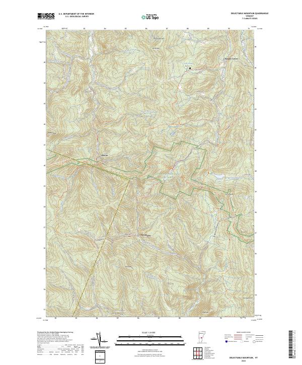
2024 Map of Delectable Mountain
USGS Topo · Published 2024About this map
Delectable Mtn and Mt Hunger dominate this Green Mountain landscape, where high-elevation wetlands like Nyes Swamp feed a complex network of brooks. The terrain is defined by its deep hollows and gaps, including Bridgewater Hollow and the narrow passage known as The Gulf. Modern recreation intersects with older settlement patterns as the Appalachian National Scenic Trail winds past historic points such as The Lookout and through the high-country settlements of Notown and Chateauguay.
Find a feature on this map
63 named features on this map. Tap any name to fly to it.
Don’t see what you’re looking for? This feature index may not catch every label — zoom into the map to look around manually.
Map Details
Editions of this 2024 Delectable Mountain Map
This is the sole edition of this map. No revisions or reprints were ever made.
Other maps of this area

1891 · Rutland
USGS Topo · 1:62,500

1893 · Rutland
USGS Topo · 1:62,500

1911 · Woodstock
USGS Topo · 1:62,500

1913 · Woodstock
USGS Topo · 1:62,500

1915 · Rochester
USGS Topo · 1:62,500

1917 · Rochester
USGS Topo · 1:62,500

1919 · Royalton
USGS Topo · 1:62,500

1924 · Randolph
USGS Topo · 1:48,000

1926 · Randolph
USGS Topo · 1:62,500

1943 · Woodstock
USGS Topo · 1:62,500