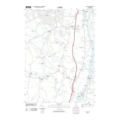
2010 Map of Delmar
USGS Topo · Published 2010About this map
The Hudson River corridor south of Albany defines this landscape of islands, kills, and suburban expansion. Dense residential patterns in Delmar, Elsmere, and Glenmont contrast with the agricultural character of Sleigh Bell Farm and the Majestic Tree Farm further south. The river itself is a complex network of named landforms such as Cabbage Island, Beacon Island, and Schermerhorn Island, which sit across from the village of Castleton-on-Hudson.
Find a feature on this map
101 named features on this map. Tap any name to fly to it.
Don’t see what you’re looking for? This feature index may not catch every label — zoom into the map to look around manually.
Map Details
Editions of this 2010 Delmar Map
This is the sole edition of this map. No revisions or reprints were ever made.
Other maps of this area

1893 · Troy
USGS Topo · 1:62,500

1893 · Coxsackie
USGS Topo · 1:62,500

1893 · Albany
USGS Topo · 1:62,500

1894 · Coxsackie
USGS Topo · 1:62,500

1895 · Troy
USGS Topo · 1:62,500

1895 · Albany
USGS Topo · 1:62,500

1898 · Albany
USGS Topo · 1:62,500

1898 · Troy
USGS Topo · 1:62,500

1903 · Kinderhook
USGS Topo · 1:62,500

1925 · Troy
USGS Topo · 1:48,000