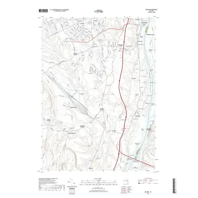
2019 Map of Delmar
USGS Topo · Published 2019About this map
The Hudson River corridor south of Albany is defined by a dense network of islands and industrial crossings, including the Castleton-on-Hudson Bridge and the Alfred H Smith Memorial Bridge. This 2019 survey documents the transition from the suburbanized residential areas of Delmar and Glenmont to the more open, wetland-rich landscapes along the Binnen Kill and Vlockie Kill. Large commemorative grounds such as Beth Emeth Cem and Calvary Cem are prominent in the north, while the southern reaches show the industrial and logistical importance of the CSX rail lines and the proximity to Selkirk. Two regional aviation hubs, South Albany Airport and Cross Farm Airport, are positioned amidst a landscape of smaller crossroads like Beckers Corners and Houcks Corners. This modern topographic study reveals how contemporary transportation infrastructure and historical land-use patterns coexist along the river's western bank.
Find a feature on this map
70 named features on this map. Tap any name to fly to it.
Don’t see what you’re looking for? This feature index may not catch every label — zoom into the map to look around manually.
Map Details
Editions of this 2019 Delmar Map
This is the sole edition of this map. No revisions or reprints were ever made.
Other maps of this area

1893 · Troy
USGS Topo · 1:62,500

1893 · Coxsackie
USGS Topo · 1:62,500

1893 · Albany
USGS Topo · 1:62,500

1894 · Coxsackie
USGS Topo · 1:62,500

1895 · Troy
USGS Topo · 1:62,500

1895 · Albany
USGS Topo · 1:62,500

1898 · Albany
USGS Topo · 1:62,500

1898 · Troy
USGS Topo · 1:62,500

1903 · Kinderhook
USGS Topo · 1:62,500

1925 · Troy
USGS Topo · 1:48,000