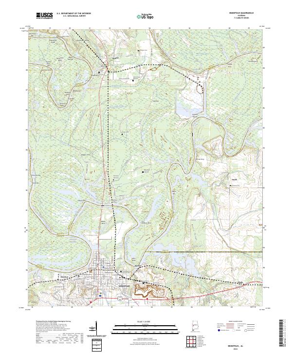
2024 Map of Demopolis
USGS Topo · Published 2024About this map
Demopolis and its surrounding riverlands are defined by the convergence of the Black Warrior River and the Tombigbee River, a vital junction for the region's historical waterborne commerce. This 2024 survey details the Tennessee-Tombigbee Waterway south of Webbs Bend, alongside numerous named bars and shoals like McComico Bar and Logyard Shoals that once challenged river pilots. Local history is deeply rooted in the small settlements and family burial grounds scattered across the landscape, including Birdeye and the industrial-centered Spocari. Genealogists will find a high density of cemeteries, from the Old Green Oak Cem and New Green Oak Cem to the Congregation B'nai Jeshurun Cem near the town center. The map also preserves the locations of several historic crossing points, such as Glovers Ferry and Arcola Ferry, reflecting a time when these river bends were central to local travel.
Find a feature on this map
137 named features on this map. Tap any name to fly to it.
Don’t see what you’re looking for? This feature index may not catch every label — zoom into the map to look around manually.
Map Details
Editions of this 2024 Demopolis Map
This is the sole edition of this map. No revisions or reprints were ever made.
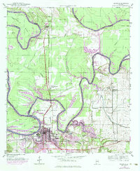
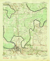
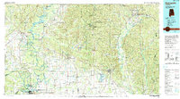
Historical Maps of Arcola Through Time
5 maps found