
Loading...
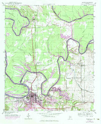
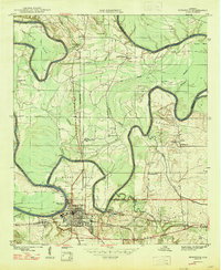
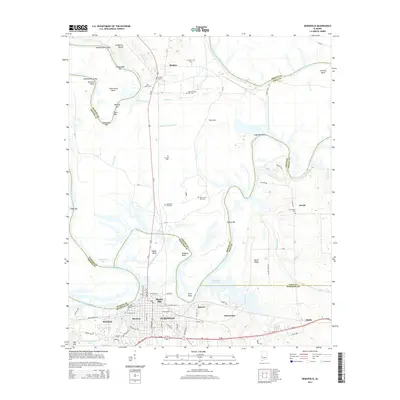
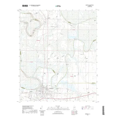
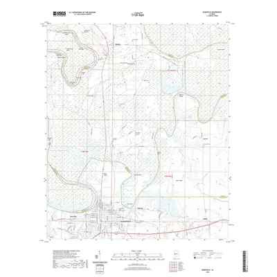
Loading map...1986 Map of Demopolis
USGS Topo · Published 1986About this map
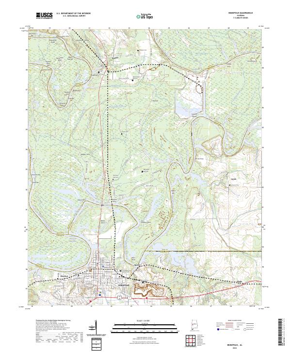
The Black Warrior River and Tombigbee River define the western reaches of this mid-1980s landscape, where industrial and agricultural patterns converge near Demopolis. This survey documents a critical junction of river-and-rail economy, featuring the Demopolis Lock and Dam and the Warrior Lock and Dam, which facilitated regional commerce alongside the Southern Railway and Burlington Northern lines.
Find a feature on this map
141 named features on this map. Tap any name to fly to it.
Don’t see what you’re looking for? This feature index may not catch every label — zoom into the map to look around manually.
Map Details
Date Portrayed1986
Date Published1986
PublisherU.S. Geological Survey
Map TypeTopographic
Scale1:100,000
Physical Dimensions43 x 24 inches
Editions of this 1986 Demopolis Map
This is the sole edition of this map. No revisions or reprints were ever made.
Historical Maps of Demopolis Through Time
9 maps found
Featured Locations
Source Details
SourceU.S. Geological Survey
CopyrightPublic Domain