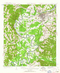
1924 Map of Tuscaloosa
USGS Topo · Published 1957About this map
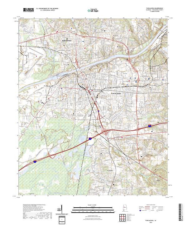
The Black Warrior River carves a winding path through this 1924 landscape, its deep bends like Snows Bend and Robinson Bend defining the local geography. At the heart of the region, Tuscaloosa and Northport serve as the primary urban hubs, with the University of Alabama and the City State Hospital established as major landmarks. The map captures a detailed transition from town to country, showing the industrial influence of the Mobile and Ohio RR and the Southern RR as they connect the city to outlying communities like Alberta City and Coker.
Find a feature on this map
83 named features on this map. Tap any name to fly to it.
Don’t see what you’re looking for? This feature index may not catch every label — zoom into the map to look around manually.
Map Details
Editions of this 1924 Tuscaloosa Map
This is the sole edition of this map. No revisions or reprints were ever made.
Historical Maps of Tuscaloosa Through Time
9 maps found
1924 Tuscaloosa
Tuscaloosa County, AL
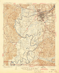
1926 Tuscaloosa
Tuscaloosa County, AL
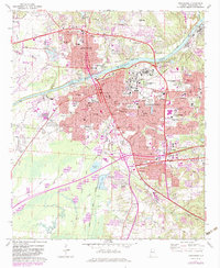
1971 Tuscaloosa
Tuscaloosa County, AL
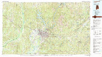
1984 Tuscaloosa
Tuscaloosa County, AL
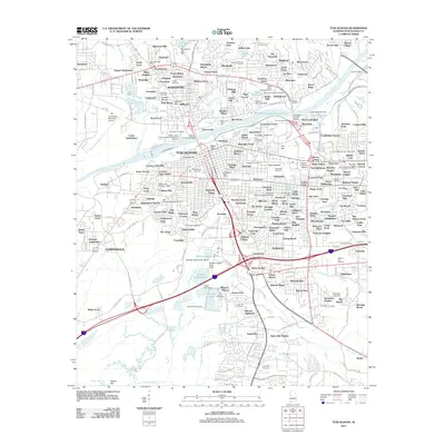
2011 Tuscaloosa
Tuscaloosa County, AL
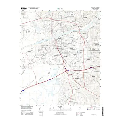
2014 Tuscaloosa
Tuscaloosa County, AL
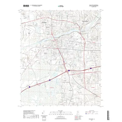
2018 Tuscaloosa
Tuscaloosa County, AL
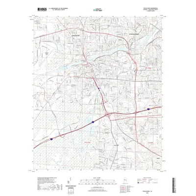
2020 Tuscaloosa
Tuscaloosa County, AL
2024 Tuscaloosa
Tuscaloosa County, AL