
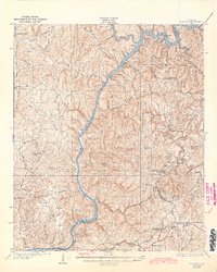
1934 Map of Searles
USGS Topo · Published 1934About this map
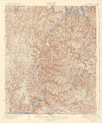
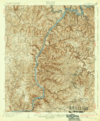
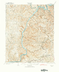
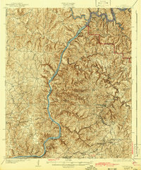
The Black Warrior River dominates this 1934 landscape, winding through the boundary of Jefferson and Tuscaloosa Counties. Along its banks, the river is harnessed by a series of infrastructure projects, including Lock No 16, Lock No 15, and Lock No 14. These locks reflect a period of intensive industrial development in the coal-rich hills of Alabama. The southeastern corner reveals a cluster of mining-related settlements like Brookwood, Searles, and Kellerman, where the terrain is tightly packed with residences, schools, and company towns. In contrast, the northwestern section remains more sparsely settled around Windham Springs, characterized by family-named landmarks like Pattons Mill and small community hubs such as Spencer Hill Sch. This map documents a critical era when the region's economy was transitionally dependent on both river navigation and the Birmingham and Nashville Highway for transport.
Find a feature on this map
60 named features on this map. Tap any name to fly to it.
Don’t see what you’re looking for? This feature index may not catch every label — zoom into the map to look around manually.
Map Details
Editions of this 1934 Searles Map
6 editions found
Other maps of this area

1893 · Jasper
USGS Topo · 1:125,000

1899 · Brookwood
USGS Topo · 1:125,000

1924 · Tuscaloosa
USGS Topo · 1:62,500

1926 · Samantha
USGS Topo · 1:48,000

1926 · Tuscaloosa
USGS Topo · 1:62,500

1927 · Adger
USGS Topo · 1:48,000

1928 · Samantha
USGS Topo · 1:62,500

1929 · Searles
USGS Topo · 1:48,000

1931 · Cottondale
USGS Topo · 1:48,000

1932 · Yolande
USGS Topo · 1:62,500