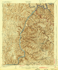
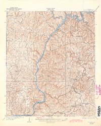
1934 Map of Searles
USGS Topo · Published 1942About this map
The Black Warrior River dominates this landscape of the 1930s, winding through a complex system of locks including Lock No 16 and Lock No 13. This survey reveals the industrial and social heart of the coal and iron region, where the Louisville and Nashville railroad connects major mining-era settlements such as Kellerman, Searles, and Brookwood. In the higher elevations to the east, landmarks like Iron Ore Mountain and Round Mtn provide a rugged backdrop to the rural infrastructure of the day.
Find a feature on this map
56 named features on this map. Tap any name to fly to it.
Don’t see what you’re looking for? This feature index may not catch every label — zoom into the map to look around manually.
Map Details
Editions of this 1934 Searles Map
6 editions found

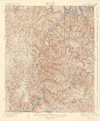
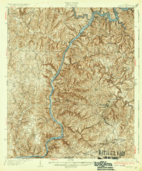
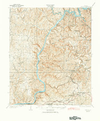
Other maps of this area

1893 · Jasper
USGS Topo · 1:125,000

1899 · Brookwood
USGS Topo · 1:125,000

1924 · Tuscaloosa
USGS Topo · 1:62,500

1926 · Samantha
USGS Topo · 1:48,000

1926 · Tuscaloosa
USGS Topo · 1:62,500

1927 · Adger
USGS Topo · 1:48,000

1928 · Samantha
USGS Topo · 1:62,500

1929 · Searles
USGS Topo · 1:48,000

1931 · Cottondale
USGS Topo · 1:48,000

1932 · Yolande
USGS Topo · 1:62,500