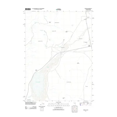
2011 Map of Denio
USGS Topo · Published 2011About this map
Denio sits at the northern edge of the Pueblo Valley along the Nevada-Oregon state line, serving as a remote outpost in this high-desert landscape. The 2011 survey captures the sparse infrastructure of the region, including the Denio Post Office and the highway intersection at Denio Junction, which provides access to the Denio Junction Airport. The terrain is defined by the significant elevation changes between the Pueblo Mountains to the west and the massive depression of the Bog Hot Valley to the south.
Find a feature on this map
30 named features on this map. Tap any name to fly to it.
Don’t see what you’re looking for? This feature index may not catch every label — zoom into the map to look around manually.
Map Details
Editions of this 2011 Denio Map
This is the sole edition of this map. No revisions or reprints were ever made.
Other maps of this area

1886 · Disaster
USGS Topo · 1:250,000

1893 · Disaster
USGS Topo · 1:250,000

1954 · Vya
USGS Topo · 1:250,000

1955 · Adel
USGS Topo · 1:250,000

1957 · Adel
USGS Topo · 1:250,000

1958 · Vya
USGS Topo · 1:250,000

1958 · Adel
USGS Topo · 1:250,000

1962 · Vya
USGS Topo · 1:250,000

1962 · Adel
USGS Topo · 1:250,000

1965 · Railroad Point
USGS Topo · 1:62,500