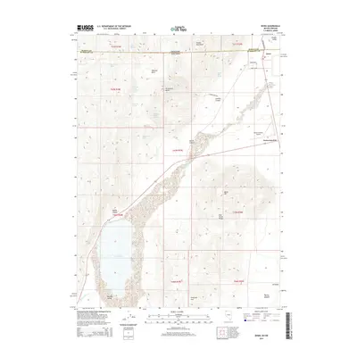
2015 Map of Denio
USGS Topo · Published 2015About this map
Pueblo Valley sits at a remote desert crossroads along the Oregon and Nevada state line, where the high desert meets the base of the Pueblo Mountains. The small settlement of Denio anchors the northern edge of the sheet, while Denio Junction serves as a critical waypoint to the south, supported by the Denio Junction Airport. This landscape is defined by its water sources, with names like State Line Spring, Cowden Mine Spring, and Mustang Spring hinting at the livestock and mining history of the basin.
Find a feature on this map
42 named features on this map. Tap any name to fly to it.
Don’t see what you’re looking for? This feature index may not catch every label — zoom into the map to look around manually.
Map Details
Editions of this 2015 Denio Map
This is the sole edition of this map. No revisions or reprints were ever made.
Other maps of this area

1886 · Disaster
USGS Topo · 1:250,000

1893 · Disaster
USGS Topo · 1:250,000

1954 · Vya
USGS Topo · 1:250,000

1955 · Adel
USGS Topo · 1:250,000

1957 · Adel
USGS Topo · 1:250,000

1958 · Vya
USGS Topo · 1:250,000

1958 · Adel
USGS Topo · 1:250,000

1962 · Vya
USGS Topo · 1:250,000

1962 · Adel
USGS Topo · 1:250,000

1965 · Railroad Point
USGS Topo · 1:62,500