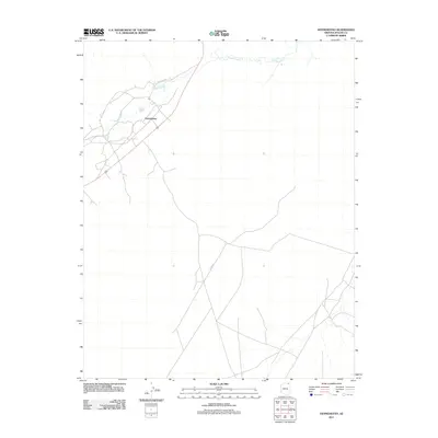
2011 Map of Dennehotso
USGS Topo · Published 2011About this map
Dennehotso serves as the primary hub in this corner of the Navajo Nation, positioned where several regional travel corridors converge. The settlement is shaped by the winding path of Laguna Creek, which meanders across the northern portion of the quadrangle, providing a rare water source in this arid landscape. Beyond the central community, the map reveals a network of local roads including C-463 Route Rd and Co Rd 481, which connect scattered homesteads and grazing areas to the main village. This 2011 survey captures the town's spatial organization and its relationship to the natural drainage patterns of the creek, illustrating how geography and modern infrastructure align in this part of Apache County.
Find a feature on this map
4 named features on this map. Tap any name to fly to it.
Don’t see what you’re looking for? This feature index may not catch every label — zoom into the map to look around manually.
Map Details
Editions of this 2011 Dennehotso Map
This is the sole edition of this map. No revisions or reprints were ever made.
Other maps of this area
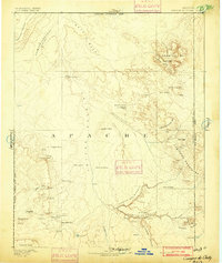
1892 · Canyon De Chelly
USGS Topo · 1:250,000
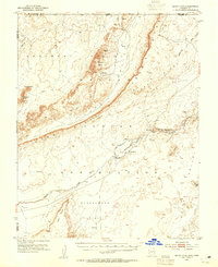
1952 · Dinnehotso
USGS Topo · 1:62,500
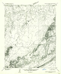
1952 · Setsiltso Springs 2 NW
USGS Topo · 1:24,000
1952 · Setsiltso Springs 2 SW
USGS Topo · 1:24,000
1952 · Setsiltso Springs 2 SE
USGS Topo · 1:24,000
1952 · Setsiltso Springs 2 NE
USGS Topo · 1:24,000
1954 · Shiprock
USGS Topo · 1:250,000
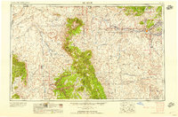
1958 · Shiprock
USGS Topo · 1:250,000
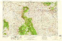
1959 · Shiprock
USGS Topo · 1:250,000
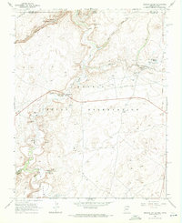
1968 · Mexican Water
USGS Topo · 1:24,000