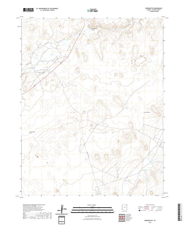
2021 Map of Dennehotso
USGS Topo · Published 2021About this map
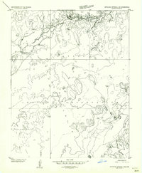
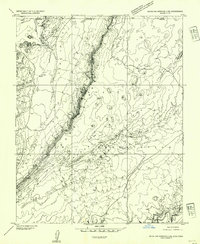
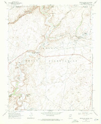
Dennehotso Canyon cuts through the northern landscape of this Apache County region, where the drainages of Laguna Cr and Tuende Cr shape the arid terrain. The map illustrates a section of the Navajo Nation characterized by broad open spaces like Greasewood Flat and the expansive Chinle Valley. Transportation in this part of the reservation is defined by a network of local routes, including Indian Rte 6460 and Apache Co Rd 481, which connect the scattered homesteads and traditional grazing lands. The topography is defined by subtle elevation changes and seasonal washes like Blackhorse Wash, reflecting a landscape where water and accessibility dictate the patterns of human presence and land use within the township grids of T40N and T39N.
Find a feature on this map
14 named features on this map. Tap any name to fly to it.
Don’t see what you’re looking for? This feature index may not catch every label — zoom into the map to look around manually.
Map Details
Editions of this 2021 Dennehotso Map
This is the sole edition of this map. No revisions or reprints were ever made.
Other maps of this area

1892 · Canyon De Chelly
USGS Topo · 1:250,000
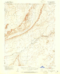
1952 · Dinnehotso
USGS Topo · 1:62,500
1952 · Setsiltso Springs 2 NW
USGS Topo · 1:24,000
1952 · Setsiltso Springs 2 SW
USGS Topo · 1:24,000
1952 · Setsiltso Springs 2 SE
USGS Topo · 1:24,000
1952 · Setsiltso Springs 2 NE
USGS Topo · 1:24,000

1954 · Shiprock
USGS Topo · 1:250,000

1958 · Shiprock
USGS Topo · 1:250,000

1959 · Shiprock
USGS Topo · 1:250,000
1968 · Mexican Water
USGS Topo · 1:24,000