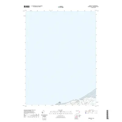
2021 Map of Dennis OE N
USGS Topo · Published 2021About this map
Sesuit Neck occupies a prominent position on this coastal stretch of Barnstable County, where the Cape Cod shoreline meets the waters of the bay. The landscape is defined by the intricate relationship between sand and sea, notably at Corporation Beach and the protective curve of Nobscusset Point. This 2021 survey details the residential and recreational infrastructure of the early 21st century, with established local routes like Sesuit Neck Rd and Cold Storage Rd providing access to the waterfront. To the east, the environment shifts from developed harbor areas to the preserved ecology of the Quivett Creek Marshes. This area around Quivett Creek represents a significant natural boundary, where tidal movement and freshwater sources like Coles Pond create a distinct marshland profile contrasted against the nearby harbors.
Find a feature on this map
19 named features on this map. Tap any name to fly to it.
Don’t see what you’re looking for? This feature index may not catch every label — zoom into the map to look around manually.
Map Details
Editions of this 2021 Dennis OE N Map
This is the sole edition of this map. No revisions or reprints were ever made.
Other maps of this area

1887 · Wellfleet
USGS Topo · 1:62,500

1887 · Yarmouth
USGS Topo · 1:62,500

1888 · Barnstable
USGS Topo · 1:62,500

1889 · Yarmouth
USGS Topo · 1:62,500

1889 · Wellfleet
USGS Topo · 1:62,500

1893 · Yarmouth
USGS Topo · 1:62,500

1893 · Wellfleet
USGS Topo · 1:62,500

1893 · Barnstable
USGS Topo · 1:62,500

1942 · Cape Cod Bay
USGS Topo · 1:125,000
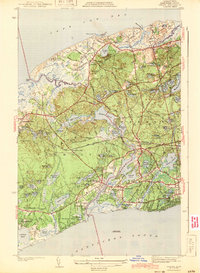
1943 · Dennis
USGS Topo · 1:31,680