Loading...
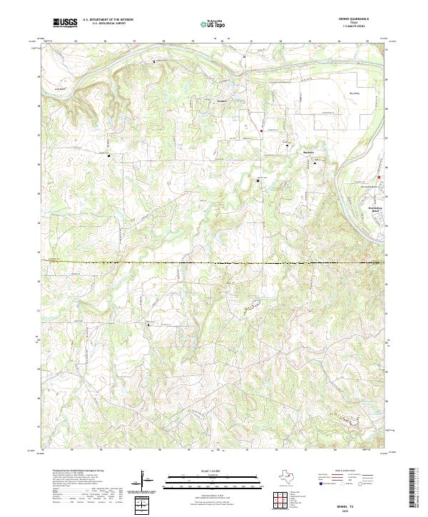
Loading map...2022 Map of Dennis
USGS Topo · Published 2022About this map
The Brazos River winds through the northern portion of this landscape, carving the prominent Lazy Bend and Horseshoe Bend as it crosses the Parker and Hood county line. The settlement of Dennis serves as a local hub north of the river, while the community of Buckner lies to the east, surrounded by several family-named burial grounds including Buckner Cem, Holder Cem, and Morton Cem.
Find a feature on this map
76 named features on this map. Tap any name to fly to it.
Don’t see what you’re looking for? This feature index may not catch every label — zoom into the map to look around manually.
Map Details
Date Portrayed2022
Date Published2022
PublisherU.S. Geological Survey
Map TypeTopographic
Scale1:24000
Physical Dimensions24 x 29 inches
Editions of this 2022 Dennis Map
This is the sole edition of this map. No revisions or reprints were ever made.
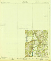
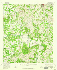
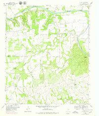
Historical Maps of Allison Through Time
4 maps found
Featured Locations
Source Details
SourceU.S. Geological Survey
CopyrightPublic Domain