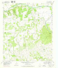
1959 Map of Dennis
USGS Topo · Published 1979About this map
Brazos River meanders through the heart of this landscape, forming the distinctive curves of Lazy Bend and Horseshoe Bend. The era's river-dependent geography is evident in the numerous named fords and crossings, including Stephens Crossing, Maxwell Crossing, and Powell Crossing, which served as vital connections before modern infrastructure. The community of Dennis sits north of the river, while smaller settlements like Buckner and Allison are distributed across the valley.
Find a feature on this map
44 named features on this map. Tap any name to fly to it.
Don’t see what you’re looking for? This feature index may not catch every label — zoom into the map to look around manually.
Map Details
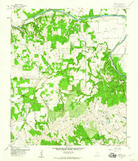
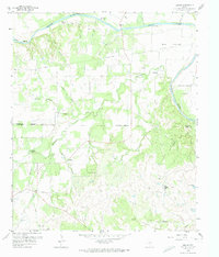
Editions of this 1959 Dennis Map
3 editions found
Other maps of this area

1889 · Granbury
USGS Topo · 1:125,000

1890 · Stephenville
USGS Topo · 1:125,000

1891 · Weatherford
USGS Topo · 1:125,000

1891 · Palo Pinto
USGS Topo · 1:125,000

1893 · Weatherford
USGS Topo · 1:125,000

1918 · Palo Pinto
USGS Topo · 1:125,000

1920 · Stephenville
USGS Topo · 1:125,000

1923 · Granbury 2-a
USGS Topo · 1:48,000

1924 · Weatherford 3-d
USGS Topo · 1:48,000

1931 · Dennis
USGS Topo · 1:62,500