
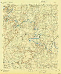
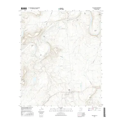
1918 Map of Palo Pinto
USGS Topo · Published 1918About this map
Brazos River meanders sharply through the heart of this landscape, its steep bends defining the rugged topography of north-central Texas during the early twentieth century. This 1918 military reconnaissance survey captures the industrial and agricultural expansion of the region, anchored by the Weatherford Mineral Wells and Northwestern Railway and the Texas and Pacific Railway. The map identifies critical infrastructure of a bygone era, including river crossings like Oaks Ferry and Brannons Ferry, alongside Carters Crossing on the river's northern reaches.
Find a feature on this map
68 named features on this map. Tap any name to fly to it.
Don’t see what you’re looking for? This feature index may not catch every label — zoom into the map to look around manually.
Map Details
Editions of this 1918 Palo Pinto Map
This is the sole edition of this map. No revisions or reprints were ever made.
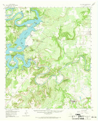
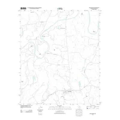
Historical Maps of Mineral Wells Through Time
9 maps found
1891 Palo Pinto
Palo Pinto County, TX
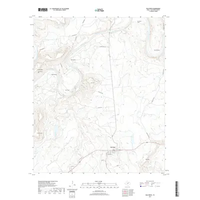
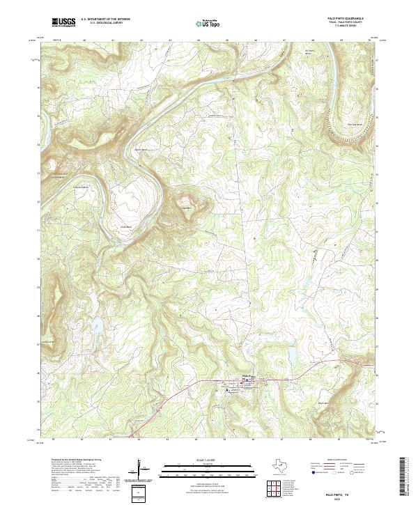
1918 Palo Pinto
Palo Pinto County, TX
1958 Palo Pinto
Palo Pinto County, TX
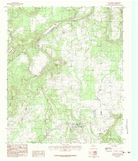
1984 Palo Pinto
Palo Pinto County, TX

2010 Palo Pinto
Palo Pinto County, TX
2012 Palo Pinto
Palo Pinto County, TX
2016 Palo Pinto
Palo Pinto County, TX
2019 Palo Pinto
Palo Pinto County, TX
2022 Palo Pinto
Palo Pinto County, TX