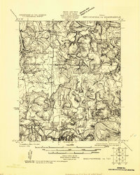
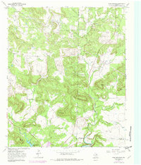
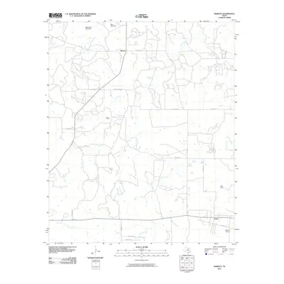
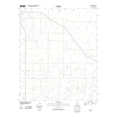
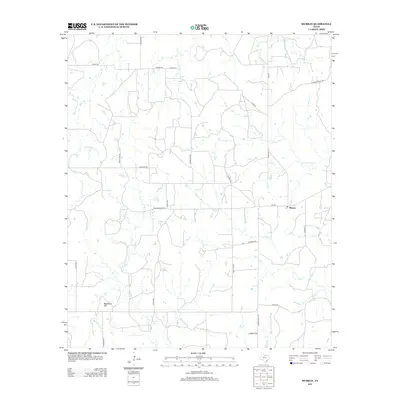
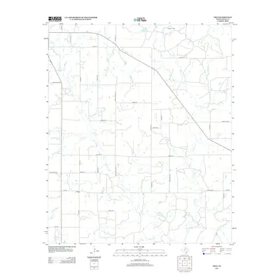
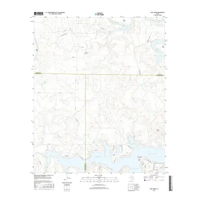
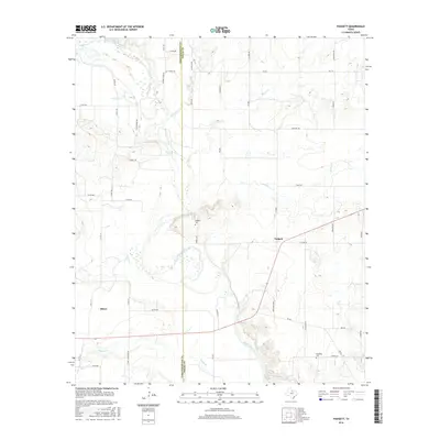
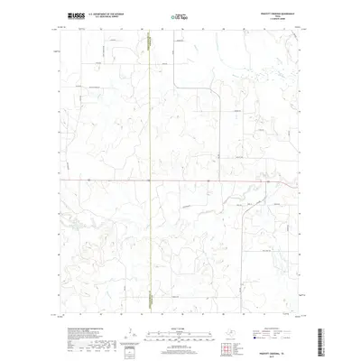
1924 Map of Breckenridge 1-a
USGS Topo · Published 1924About this map
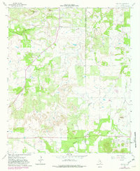
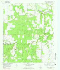
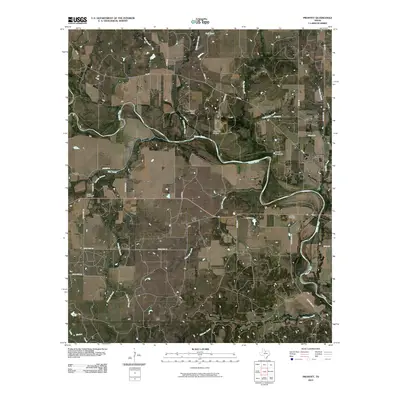
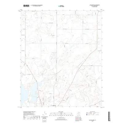
Brazos River oxbows and the rugged confluence with the Clear Fork define this 1924 landscape at the junction of Young, Stephens, and Palo Pinto counties. Surveyed during the region's oil boom, the map documents industrial development with specific landmarks like the Eubanks Derrick and Phillips Derrick. These structures stand in contrast to the established agricultural settlements of Eliasville PO and Sorghum. The distribution of local education is clearly marked through the Sorghum Flat School, Ming Bend School, and Fox Hollow School, reflecting the scattered rural population of North Central Texas during the mid-twenties. Topographer Max J. Gleissner utilized early aerial photography from the U.S. Army Air Service to capture the complex drainage patterns of Fox Hollow and Cedar Hollow, providing a high level of detail for the winding river bends such as Salem Bend and Krabbe Bend.
Find a feature on this map
22 named features on this map. Tap any name to fly to it.
Don’t see what you’re looking for? This feature index may not catch every label — zoom into the map to look around manually.
Map Details
Editions of this 1924 Breckenridge 1-a Map
This is the sole edition of this map. No revisions or reprints were ever made.
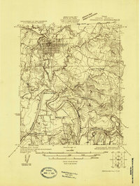
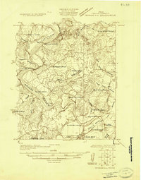
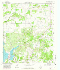
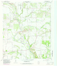
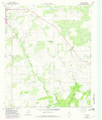
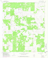
Historical Maps of Palo Pinto County Through Time
69 maps found
1924 Breckenridge 1-a
Young County, TX
1924 Graham 4-d
Young County, TX
1925 Graham 4-c
Young County, TX
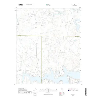
1964 Lake Eddleman
Young County, TX
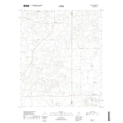
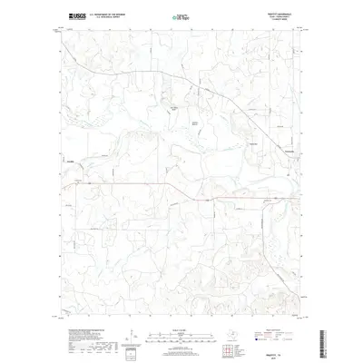
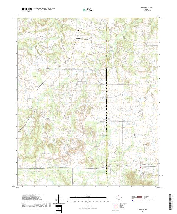
1964 Markley
Young County, TX
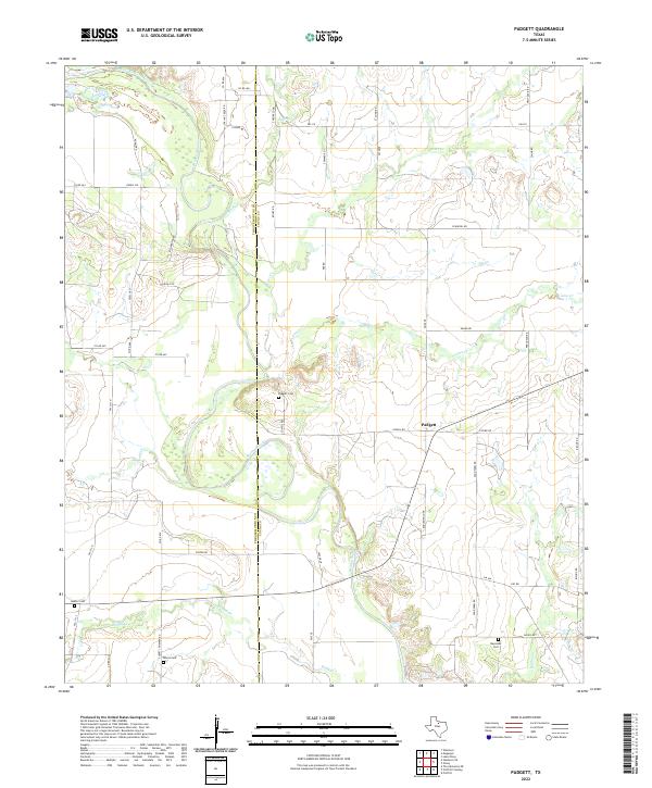
1964 Padgett
Young County, TX
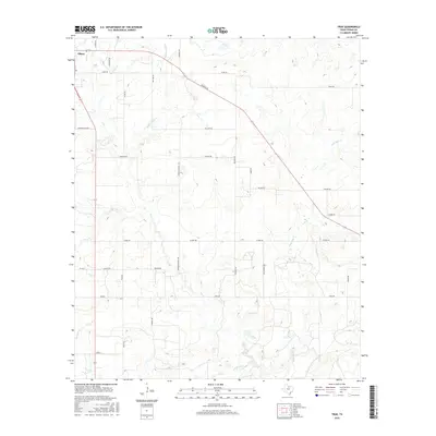
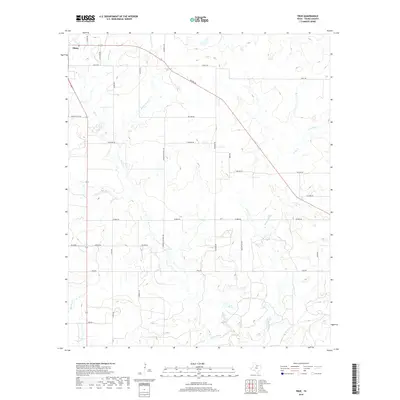
1964 True
Young County, TX
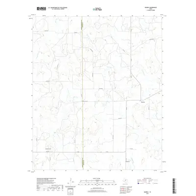
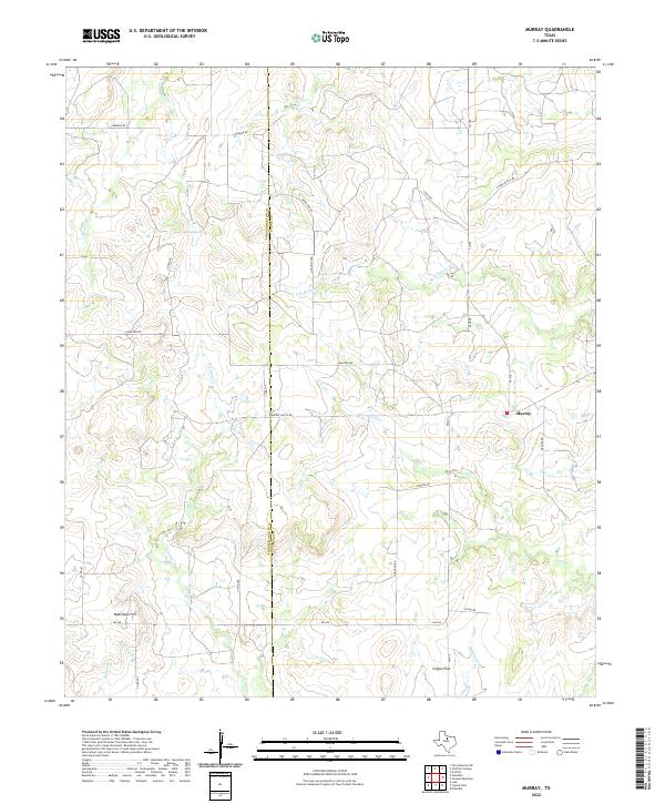
1966 Murray
Young County, TX
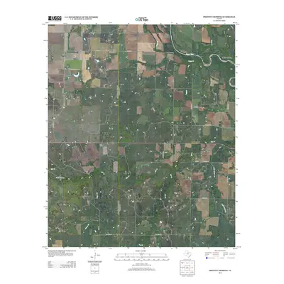
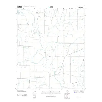
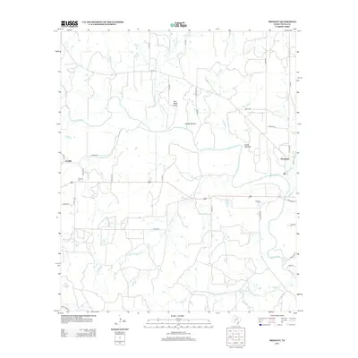
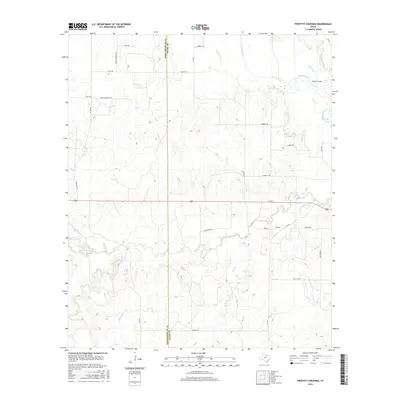
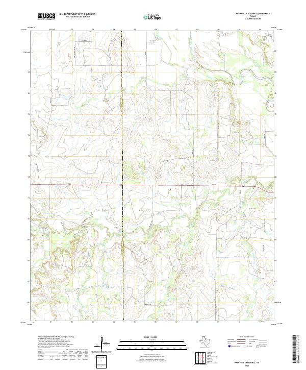
1966 Proffitt Crossing
Young County, TX
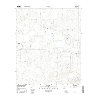
1966 Proffitt
Young County, TX
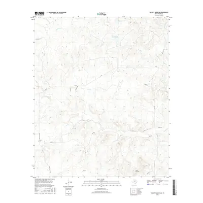
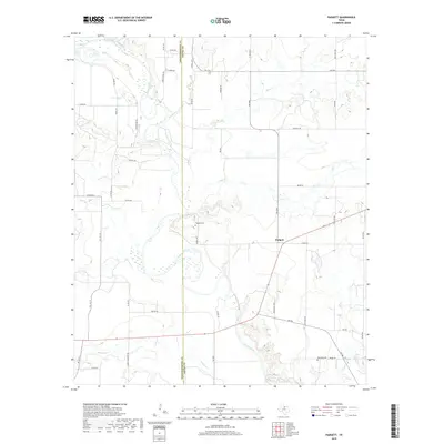
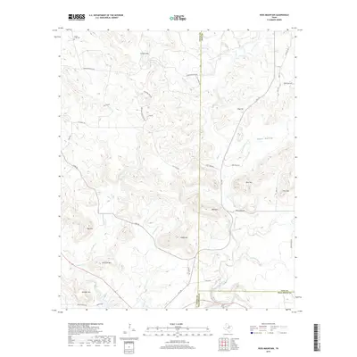
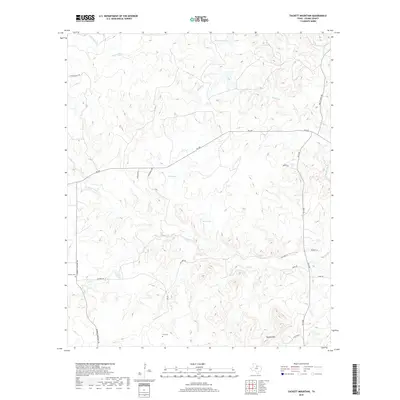
1966 Tackett Mountain
Young County, TX
1967 Cove Creek
Young County, TX
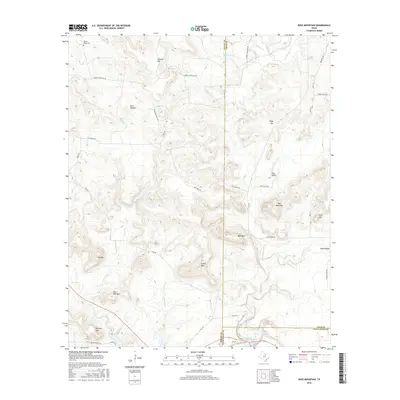
1967 Ross Mountain
Young County, TX
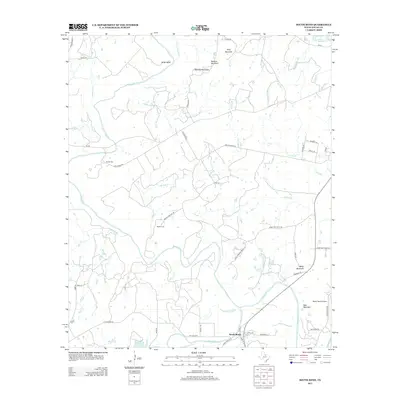
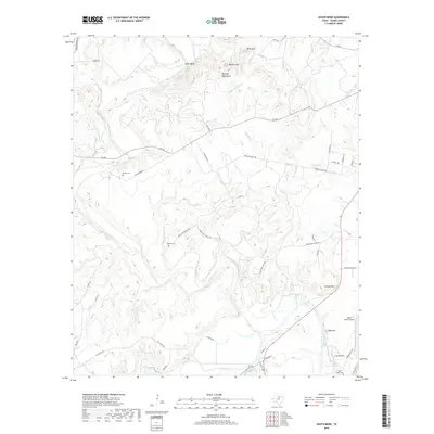
1967 South Bend
Young County, TX
2010 Cove Creek
Young County, TX
2010 Lake Eddleman
Young County, TX
2010 Markley
Young County, TX
2010 Murray
Young County, TX
2010 Padgett
Young County, TX
2010 Proffitt Crossing
Young County, TX
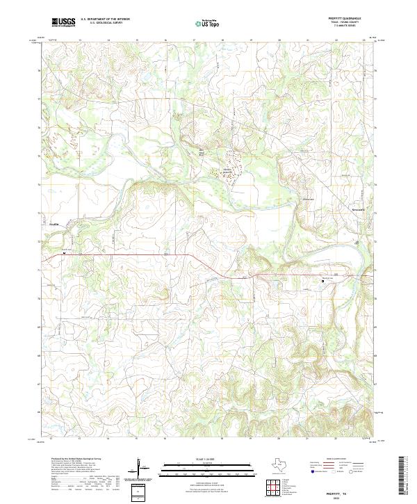
2010 Proffitt
Young County, TX
2010 Ross Mountain
Young County, TX
2010 South Bend
Young County, TX
2010 Tackett Mountain
Young County, TX
2010 True
Young County, TX
2012 Cove Creek
Young County, TX
2012 Lake Eddleman
Young County, TX
2012 Markley
Young County, TX
2012 Murray
Young County, TX
2012 Proffitt Crossing
Young County, TX
2012 Ross Mountain
Young County, TX
2012 Tackett Mountain
Young County, TX
2012 True
Young County, TX
2013 Padgett
Young County, TX
2013 Proffitt
Young County, TX
2013 South Bend
Young County, TX
2016 Cove Creek
Young County, TX
2016 Lake Eddleman
Young County, TX
2016 Markley
Young County, TX
2016 Murray
Young County, TX
2016 Padgett
Young County, TX
2016 Proffitt Crossing
Young County, TX
2016 Proffitt
Young County, TX
2016 Ross Mountain
Young County, TX
2016 South Bend
Young County, TX
2016 Tackett Mountain
Young County, TX
2016 True
Young County, TX
2019 Cove Creek
Young County, TX
2019 Lake Eddleman
Young County, TX
2019 Markley
Young County, TX
2019 Murray
Young County, TX
2019 Padgett
Young County, TX
2019 Proffitt Crossing
Young County, TX
2019 Proffitt
Young County, TX
2019 Ross Mountain
Young County, TX
2019 South Bend
Young County, TX
2019 Tackett Mountain
Young County, TX
2019 True
Young County, TX
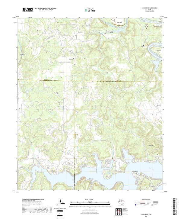
2022 Cove Creek
Young County, TX
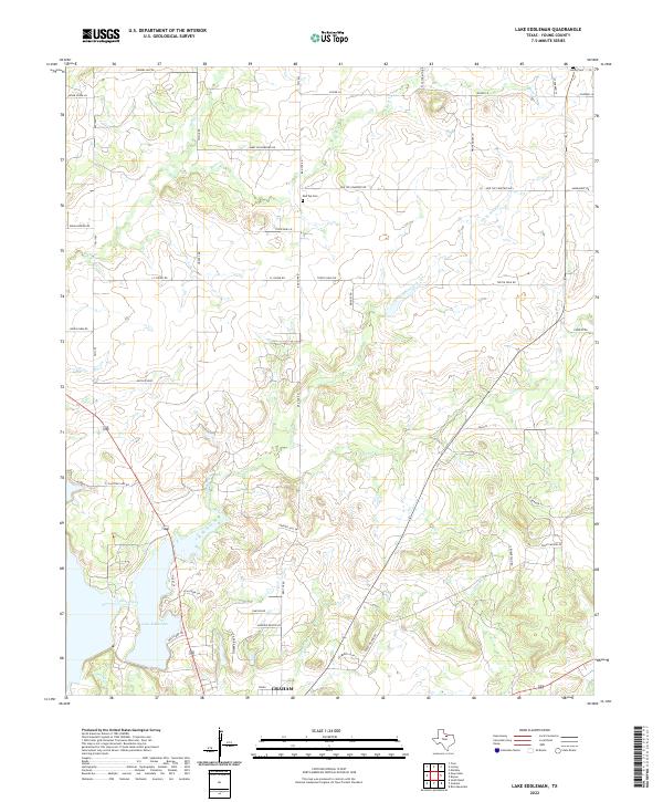
2022 Lake Eddleman
Young County, TX
2022 Markley
Young County, TX
2022 Murray
Young County, TX
2022 Padgett
Young County, TX
2022 Proffitt Crossing
Young County, TX
2022 Proffitt
Young County, TX
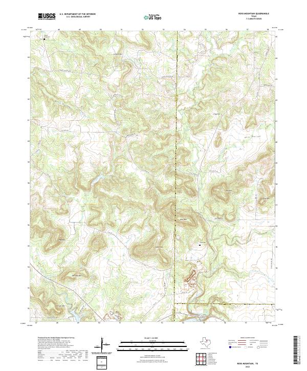
2022 Ross Mountain
Young County, TX
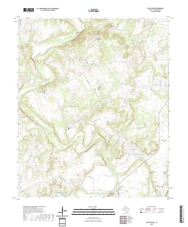
2022 South Bend
Young County, TX

2022 Tackett Mountain
Young County, TX
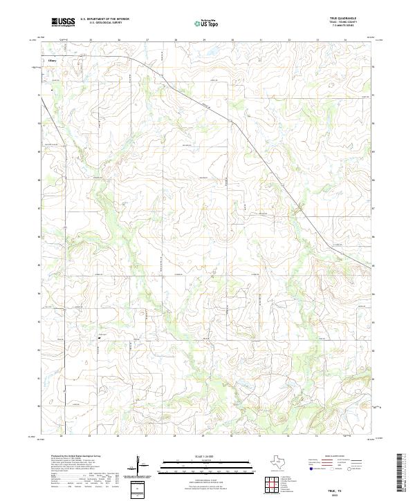
2022 True
Young County, TX