
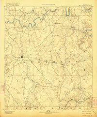
1890 Map of Breckenridge
USGS Topo · Published 1890About this map
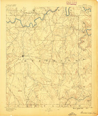
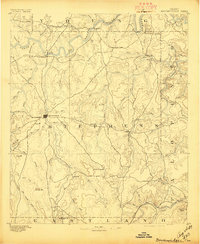
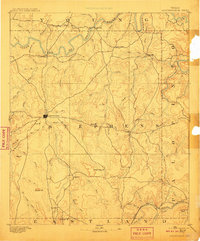
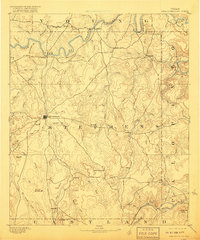
Breckenridge serves as the central hub of this late 19th-century West Texas landscape, surrounded by a network of cattle trails and early crossroads. The terrain is defined by the winding course of the Brazos River and its major tributary, the Clear Fork of Brazos River, which cuts through the northern half of the sheet. Settlers during this era were establishing small communities like Eliasville, Yanceyville, and Carbondale, many situated near reliable water sources or at the base of prominent landmarks.
Find a feature on this map
71 named features on this map. Tap any name to fly to it.
Don’t see what you’re looking for? This feature index may not catch every label — zoom into the map to look around manually.
Map Details
Editions of this 1890 Breckenridge Map
6 editions found
Other maps of this area

1890 · Stephenville
USGS Topo · 1:125,000

1891 · Palo Pinto
USGS Topo · 1:125,000

1892 · Albany
USGS Topo · 1:125,000

1893 · Albany
USGS Topo · 1:125,000

1894 · Eastland
USGS Topo · 1:125,000

1918 · Palo Pinto
USGS Topo · 1:125,000

1920 · Stephenville
USGS Topo · 1:125,000

1924 · Breckenridge 1-a
USGS Topo · 1:48,000

1924 · Palo Pinto 2-b
USGS Topo · 1:48,000

1924 · Graham 4-d
USGS Topo · 1:48,000