
1893 Map of Albany
USGS Topo · Published 1893About this map
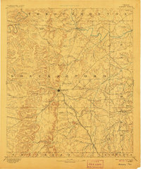
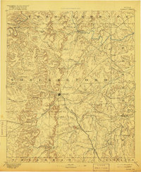
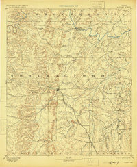
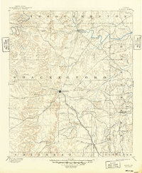
Albany serves as the focal point of this 1889 survey, situated at the junction of several drainage systems and the Texas Central Railroad. The landscape is dominated by the intricate network of the Hubbard Creek system, including its North Fork and Salt Prong. To the north, the Clear Fork of Brazos River winds past the site of Fort Griffen, a critical frontier outpost established decades prior.
Find a feature on this map
61 named features on this map. Tap any name to fly to it.
Don’t see what you’re looking for? This feature index may not catch every label — zoom into the map to look around manually.
Map Details
Editions of this 1893 Albany Map
5 editions found
Other maps of this area

1890 · Breckenridge
USGS Topo · 1:125,000

1890 · Abilene
USGS Topo · 1:125,000

1891 · Anson
USGS Topo · 1:125,000

1892 · Abilene
USGS Topo · 1:125,000

1892 · Albany
USGS Topo · 1:125,000

1893 · Anson
USGS Topo · 1:125,000

1894 · Eastland
USGS Topo · 1:125,000

1931 · Baird
USGS Topo · 1:125,000

1932 · Baird
USGS Topo · 1:125,000

1954 · Abilene
USGS Topo · 1:250,000