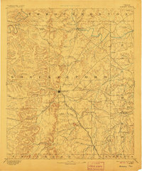
1893 Map of Albany
USGS Topo · Published 1906About this map
Albany serves as the focal point of this late-nineteenth-century survey of Shackelford County, illustrating a landscape defined by its branching waterway systems and the expansion of the Texas Central Railroad. The rail line cuts a path through the southern half of the county, passing through Vesta Switch and near the settlement of Hulltown. These transit points supported a ranching and milling economy, evidenced by landmarks like Mankins Mill and small community hubs like Eolian.
Find a feature on this map
61 named features on this map. Tap any name to fly to it.
Don’t see what you’re looking for? This feature index may not catch every label — zoom into the map to look around manually.
Map Details
Editions of this 1893 Albany Map
5 editions found
Other maps of this area

1890 · Breckenridge
USGS Topo · 1:125,000

1890 · Abilene
USGS Topo · 1:125,000

1891 · Anson
USGS Topo · 1:125,000

1892 · Abilene
USGS Topo · 1:125,000

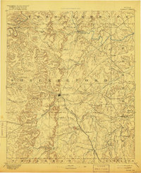
1892 · Albany
USGS Topo · 1:125,000

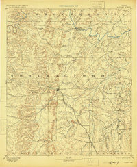
1893 · Albany
USGS Topo · 1:125,000

1893 · Anson
USGS Topo · 1:125,000

1894 · Eastland
USGS Topo · 1:125,000

1931 · Baird
USGS Topo · 1:125,000

1932 · Baird
USGS Topo · 1:125,000