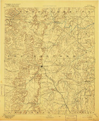
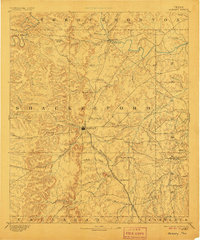
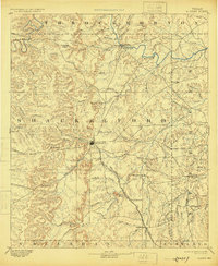
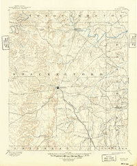
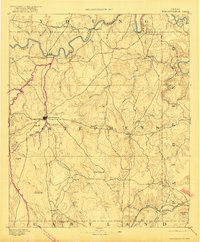
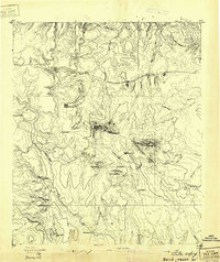
1893 Map of Albany
USGS Topo · Published 1916About this map
The Albany railhead serves as the central hub of this late-nineteenth-century North Texas landscape, where the Texas Central Railroad terminates amidst a terrain defined by deep creek valleys and prominent rises like the Green Mtns and Indian Knoll. To the north, the Fort Griffin site sits near the winding Clear Fork Brazos River, a critical point of frontier transition during the survey years.
Find a feature on this map
58 named features on this map. Tap any name to fly to it.
Don’t see what you’re looking for? This feature index may not catch every label — zoom into the map to look around manually.
Map Details
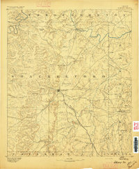
Editions of this 1893 Albany Map
5 editions found
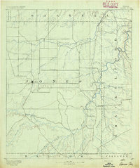
Other maps of this area
1890 · Breckenridge
USGS Topo · 1:125,000

1890 · Abilene
USGS Topo · 1:125,000
1891 · Anson
USGS Topo · 1:125,000

1892 · Abilene
USGS Topo · 1:125,000

1892 · Albany
USGS Topo · 1:125,000
1893 · Albany
USGS Topo · 1:125,000
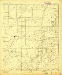
1893 · Anson
USGS Topo · 1:125,000

1894 · Eastland
USGS Topo · 1:125,000
1931 · Baird
USGS Topo · 1:125,000
1932 · Baird
USGS Topo · 1:125,000