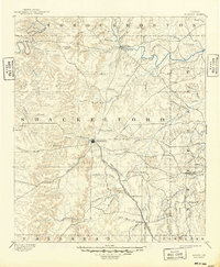
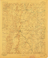
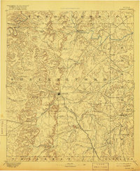
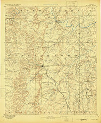
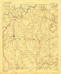
1893 Map of Albany
USGS Topo · Published 1949About this map
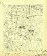
Albany serves as the central hub of this late-nineteenth-century survey of North Texas, situated at the junction of several drainage systems and the Texas Central Railroad. The landscape is defined by the intricate winding of the Clear Fork Brazos River in the north and the extensive network of the Hubbard Creek basin to the south. Historically significant sites like Fort Griffin appear along the river, marking the transition from frontier military outposts to established ranching and rail settlements.
Find a feature on this map
59 named features on this map. Tap any name to fly to it.
Don’t see what you’re looking for? This feature index may not catch every label — zoom into the map to look around manually.
Map Details
Editions of this 1893 Albany Map
5 editions found
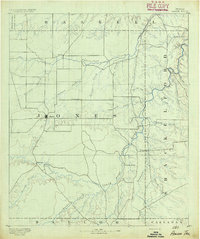
Other maps of this area
1890 · Breckenridge
USGS Topo · 1:125,000

1890 · Abilene
USGS Topo · 1:125,000
1891 · Anson
USGS Topo · 1:125,000

1892 · Abilene
USGS Topo · 1:125,000

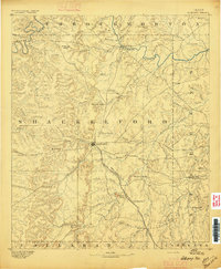
1892 · Albany
USGS Topo · 1:125,000
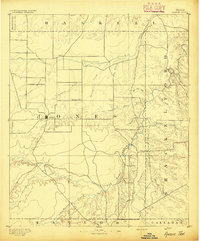
1893 · Albany
USGS Topo · 1:125,000
1893 · Anson
USGS Topo · 1:125,000

1894 · Eastland
USGS Topo · 1:125,000
1931 · Baird
USGS Topo · 1:125,000
1932 · Baird
USGS Topo · 1:125,000