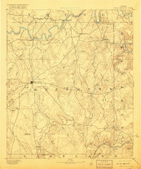
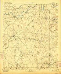
1890 Map of Breckenridge
USGS Topo · Published 1918About this map
Breckenridge sits at the heart of this late-nineteenth-century survey, surrounded by the varied terrain of the North Texas Cross Timbers. The Clear Fork of Brazos River winds through the northern portion of the quadrangle, supporting early settlements like Crystal Falls and Eliasville. To the south, the Texas and Pacific R. R. cuts across the landscape near Evensville, reflecting the rail-driven expansion that characterized this era.
Find a feature on this map
65 named features on this map. Tap any name to fly to it.
Don’t see what you’re looking for? This feature index may not catch every label — zoom into the map to look around manually.
Map Details
Editions of this 1890 Breckenridge Map
6 editions found
Other maps of this area

1890 · Stephenville
USGS Topo · 1:125,000

1890 · Breckenridge
USGS Topo · 1:125,000

1891 · Palo Pinto
USGS Topo · 1:125,000

1892 · Albany
USGS Topo · 1:125,000

1893 · Albany
USGS Topo · 1:125,000

1894 · Eastland
USGS Topo · 1:125,000

1918 · Palo Pinto
USGS Topo · 1:125,000

1920 · Stephenville
USGS Topo · 1:125,000

1924 · Breckenridge 1-a
USGS Topo · 1:48,000

1924 · Palo Pinto 2-b
USGS Topo · 1:48,000