Loading...
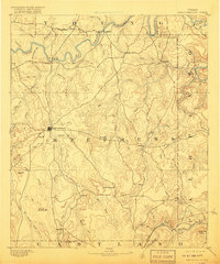
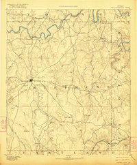
Loading map...1890 Map of Breckenridge
USGS Topo · Published 1910About this map
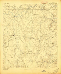
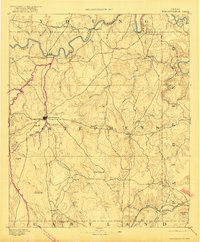
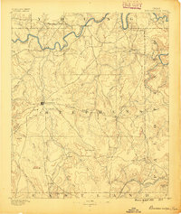
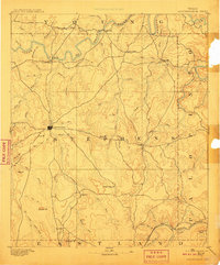
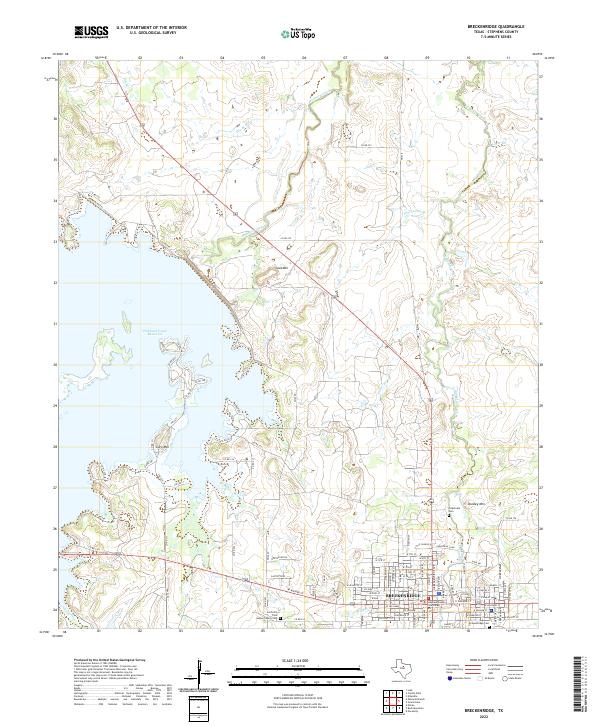
Breckenridge serves as the central hub of this late 19th-century survey of Stephens County, where the landscape is defined by the winding course of the Clear Fork of Brazos River and its numerous tributaries. Early frontier settlements like Eliasville, Crystal Falls, and Carbondale are linked by a developing network of wagon roads that traverse the broken terrain. To the south, the Texas and Pacific R. R. cuts through the corner of the map, signaling the arrival of heavy industry and rail transport to the region.
Find a feature on this map
58 named features on this map. Tap any name to fly to it.
Don’t see what you’re looking for? This feature index may not catch every label — zoom into the map to look around manually.
Map Details
Date Portrayed1890
Date Published1910
PublisherU.S. Geological Survey
Map TypeTopographic
Scale1:125,000
Physical Dimensions16.6 x 20.3 inches
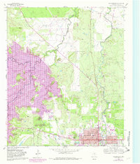
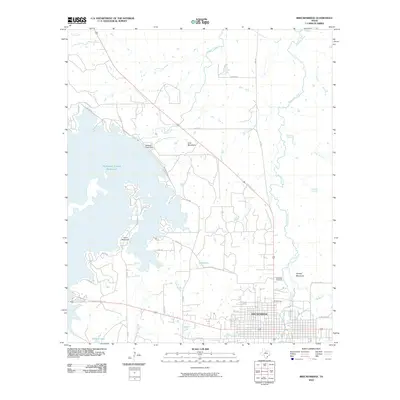
Editions of this 1890 Breckenridge Map
6 editions found
Historical Maps of Breckenridge Through Time
7 maps found
Featured Locations
Source Details
SourceU.S. Geological Survey
CopyrightPublic Domain