Old Maps of Brad, Texas
Explore 12 old maps of Brad, spanning from 1890 to today. These high-resolution historic maps reveal how streets, neighborhoods, landmarks, and natural features evolved over time — perfect for genealogy, metal detecting, research, and local history exploration.
What you can do with these maps:
- See how Brad changed over time: Compare historical maps to modern-day views to trace roads, homesites, rail lines & more.
- View detailed metadata: Each map includes creators, publishers, year, scale, and archive source.
- Overlay maps with satellite & LiDAR: Visualize the past alongside modern tools to explore terrain & human change.
- Trusted historical sources: Maps sourced from the USGS, Library of Congress, and other archives.
- Access maps your way: View online, download high-res files, or order prints for personal or research use.
Start exploring old maps of Brad to uncover forgotten places, hidden landmarks, and the deep history beneath your feet.
Brad, TX maps
(12)- 1890 Map of Breckenridge
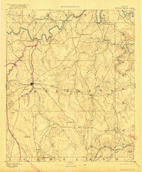 1890 Breckenridge1890 Print · USGSStephens County was a landscape of budding settlements and cattle country in the late nineteenth century. Genealogists can trace early homesteads near Breckenridge or follow the Texas and Pacific R.R. past peaks like Steal Easy Mt. and Gunsight Mt..6 unique versions available
 - 1924 Map of Breckenridge 1-d
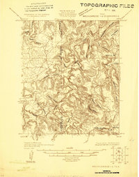 1924 Breckenridge 1-d1924 Print · USGSThe borderlands of Stephens and Palo Pinto counties are captured here in the mid-1920s, showing a rugged landscape of winding creek beds and family-named hollows. Genealogists and researchers can locate old landmarks like Cedar Springs Church, Hayrick Mt, and Hog Bend.
 - 1931 Map of Ivan
 1931 Ivan1931 Print · USGSThe Brazos River loop and the rolling breaks of north-central Texas are captured here in the mid-1920s. Genealogists can locate family-named schoolhouses and small settlements like Duff Prairie Sch, South Bend, and Oil City.2 unique versions available
 - 1954 Map of Abilene, 1966 Print
 1954 Abilene1966 Print · USGSThe Texas Big Country comes into focus in the mid-1950s as petroleum and new water projects reshape the landscape. Local historians can trace the Butterfield Trail, find the Fort Phantom Hill Ruins, and locate numerous small communities along the Texas & Pacific line.2 unique versions available
 - 1958 Map of Abilene
 1958 Abilene1958 Print · USGSMid-century West Texas comes alive in this survey of the Abilene and Stephenville region during a period of steady oil expansion and military growth. Genealogists and local historians can trace the paths of the Texas & Pacific RR through historic towns, locate the Fort Griffin Ruins, and find smaller settlements like Desdemona and Lueders.
 - 1967 Map of Brad, 1970 Print
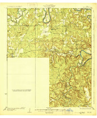
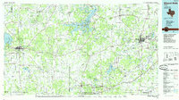
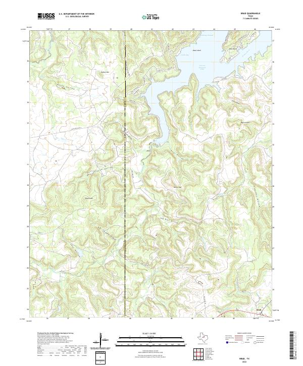
 1967 Brad1970 Print · USGSThe Palo Pinto back-country in the late sixties reveals a landscape shaped by petroleum and the waters of the Brazos. Researchers can locate the small settlement of Brad, the Cedar Springs Ch, and the industrial footprint of the Les Oil Field.2 unique versions available
 - 1985 Map of Mineral Wells
 1985 Mineral Wells1985 Print · USGSNorth-central Texas in the mid-eighties shows a landscape of deep river valleys and massive reservoirs. Genealogists and historians can trace the Missouri Pacific rail line and locate rural settlements like Thurber, Necessity, and Palo Pinto.2 unique versions available
 - 2010 Map of Brad, 2010 Print
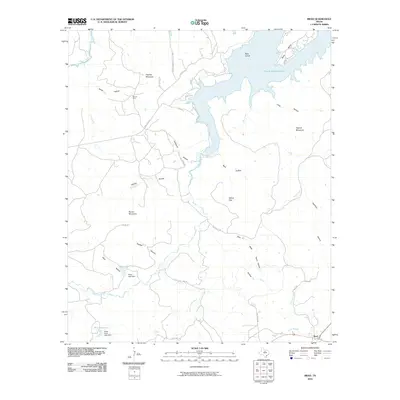 2010 Brad2010 Print · USGSCovers Brad, including Palo Pinto County, Stephens County, and other nearby areas
 - 2012 Map of Brad, 2012 Print
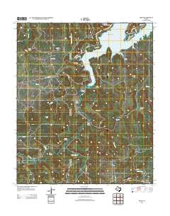 2012 Brad2012 Print · USGSCovers Brad, including Palo Pinto County, Stephens County, and other nearby areas
 - 2016 Map of Brad, 2016 Print
 2016 Brad2016 Print · USGSCovers Brad, including Palo Pinto County, Stephens County, and other nearby areas
 - 2019 Map of Brad, 2019 Print
 2019 Brad2019 Print · USGSCovers Brad, including Palo Pinto County, Stephens County, and other nearby areas
 - 2022 Map of Brad, 2022 Print
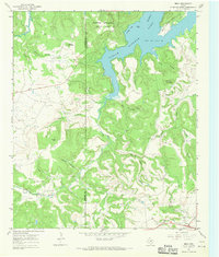
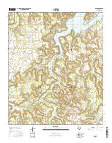
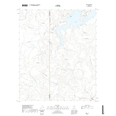
 2022 Brad2022 Print · USGSPalo Pinto County's rugged lakefront and canyon country are shown here in recent detail at the Stephens County line. Trace the shoreline of Possum Kingdom Lake and find remote landmarks like Sam Bass Hollow, Texawa Canyon, and the settlement of Brad.
End of results
Showing maps 1-12 of 12
Top cities near Brad
Frequently asked questions
- What are the different types of historical maps available for Brad?
- What is the oldest map of Brad?
- Where can I purchase historical maps of Brad for my home or office?
- Where can I download high-res historical maps of Brad?
- Are there historical topographic maps available for Brad?
- Is there historical aerial imagery available for Brad?
- Where are historical maps of Brad sourced from?