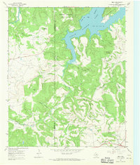
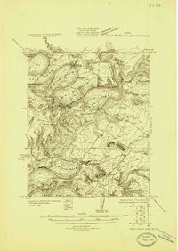
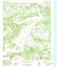
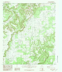
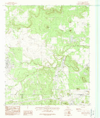
1967 Map of Brad
USGS Topo · Published 1970This historical map portrays the area of Brad in 1967, primarily covering Palo Pinto County as well as portions of Stephens County. Featuring a scale of 1:24000, this map provides a highly detailed snapshot of the terrain, roads, buildings, counties, and historical landmarks in the Brad region at the time. Published in 1970, it is one of 2 known editions of this map due to revisions or reprints.
Find a feature on this map
32 named features on this map. Tap any name to fly to it.
Don’t see what you’re looking for? This feature index may not catch every label — zoom into the map to look around manually.
Map Details
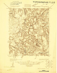
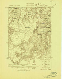
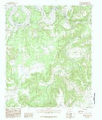
Editions of this 1967 Brad Map
2 editions found
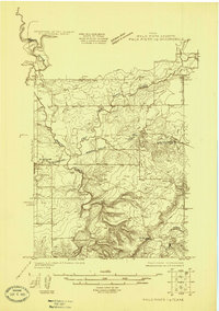
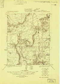
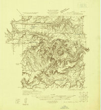
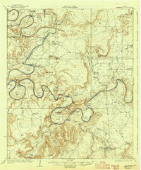
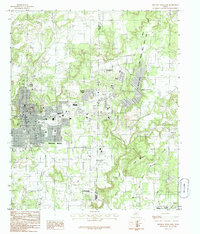
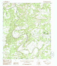
Historical Maps of Brad Through Time
21 maps found
1924 Breckenridge 1-d
Palo Pinto County, TX
1924 Palo Pinto 1-b
Palo Pinto County, TX
1924 Palo Pinto 2-a
Palo Pinto County, TX
1924 Palo Pinto 2-b
Palo Pinto County, TX
1924 Palo Pinto 2-c
Palo Pinto County, TX
1925 Palo Pinto 4-b
Palo Pinto County, TX
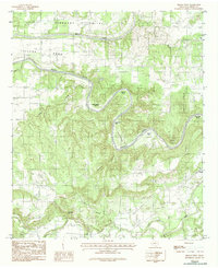
1927 Pickwick
Palo Pinto County, TX
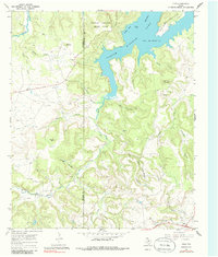
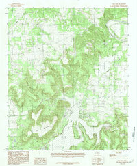
1967 Brad
Palo Pinto County, TX
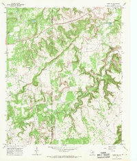
1967 Caddo NE
Palo Pinto County, TX
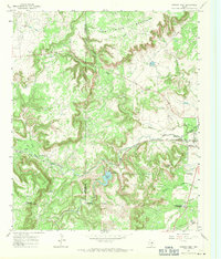
1967 Strawn West
Palo Pinto County, TX
1984 Brazos West
Palo Pinto County, TX
1984 Costello Island
Palo Pinto County, TX
1984 Fortune Bend
Palo Pinto County, TX
1984 Graford East
Palo Pinto County, TX
1984 Graford West
Palo Pinto County, TX
1984 Lone Camp
Palo Pinto County, TX
1984 Metcalf Gap
Palo Pinto County, TX
1984 Mineral Wells East
Palo Pinto County, TX
1984 Mineral Wells West
Palo Pinto County, TX
1984 Strawn East
Palo Pinto County, TX
1984 Whitt
Palo Pinto County, TX